MyTopo
Wilder Tennessee US Topo Map
Couldn't load pickup availability
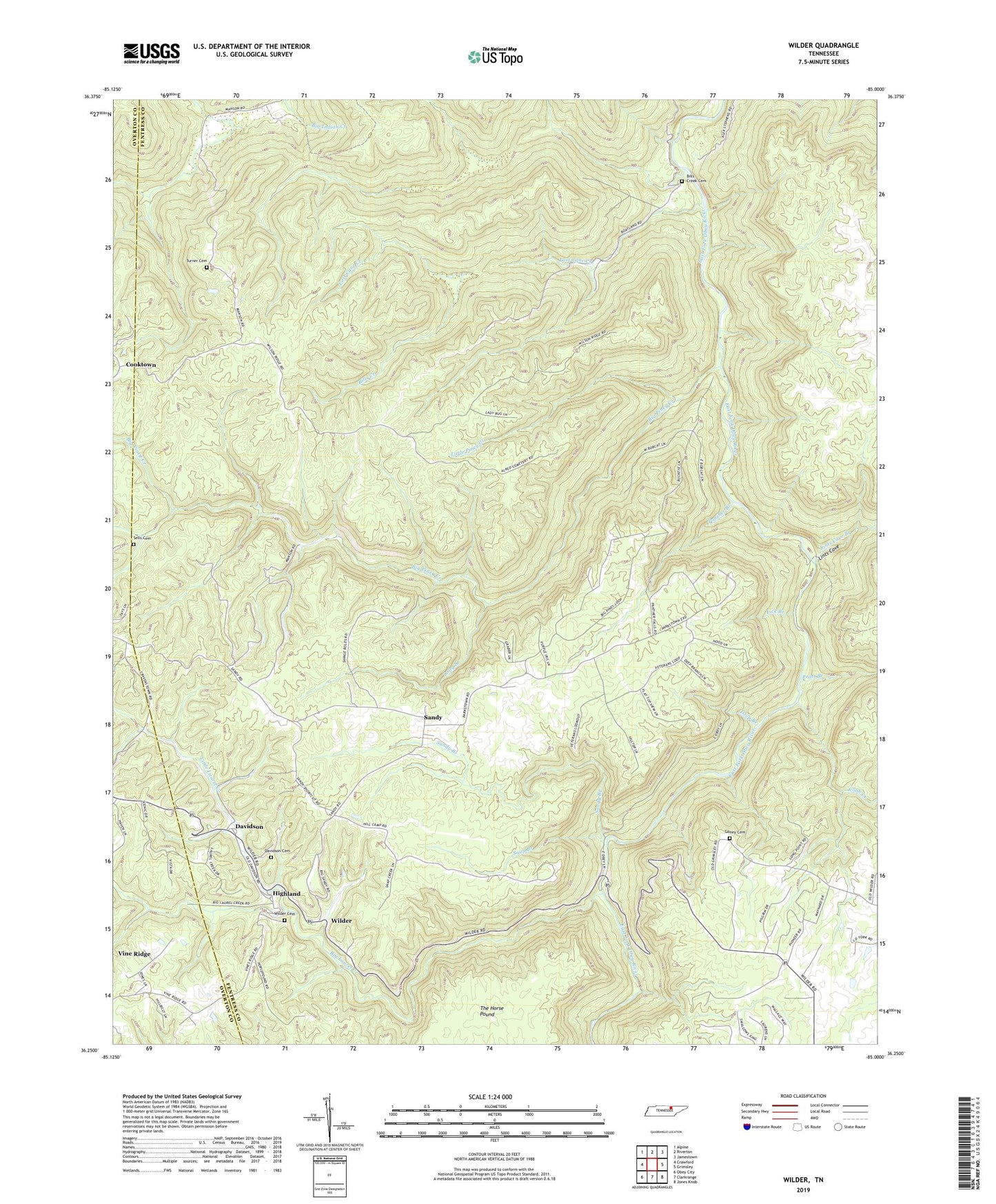
2019 topographic map quadrangle Wilder in the state of Tennessee. Scale: 1:24000. Based on the newly updated USGS 7.5' US Topo map series, this map is in the following counties: Fentress, Overton. The map contains contour data, water features, and other items you are used to seeing on USGS maps, but also has updated roads and other features. This is the next generation of topographic maps. Printed on high-quality waterproof paper with UV fade-resistant inks.
Quads adjacent to this one:
West: Crawford
Northwest: Alpine
North: Riverton
Northeast: Jamestown
East: Grimsley
Southeast: Jones Knob
South: Clarkrange
Southwest: Obey City
Contains the following named places: Big Laurel Creek, Big Piney Creek, Bills Creek, Bills Creek Cemetery, Bills Creek School, Buck Branch, Claude Ledbetter Mine, Cobb Creek, Cooktown, Cooktown School, Davidson, Davidson Cemetery, Davidson School, Deep Branch, Goney Cemetery, Highland, Howard Burks Mine, Lick Branch, Lints Cove, Lints Cove branch, Little Laurel Creek, Little Piney Creek, Long Branch, Lost Cane Creek, Panther Branch, Pratt Branch, Sandy, Sandy Branch, Sells Cemetery, Snap Branch, Sweetgum School, Tar Kiln Branch, The Horse Pound, Turner Cemetery, Vine Ridge, Vine Ridge Baptist Church, Vine Ridge School, Wilder, Wilder Cemetery, Wilder Post Office, Wilder School, ZIP Codes: 38565, 38589