MyTopo
Baluarte Ranch Texas US Topo Map
Couldn't load pickup availability
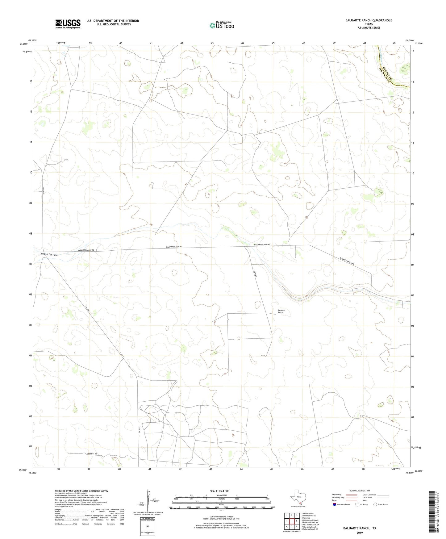
2022 topographic map quadrangle Baluarte Ranch in the state of Texas. Scale: 1:24000. Based on the newly updated USGS 7.5' US Topo map series, this map is in the following counties: Jim Hogg, Brooks. The map contains contour data, water features, and other items you are used to seeing on USGS maps, but also has updated roads and other features. This is the next generation of topographic maps. Printed on high-quality waterproof paper with UV fade-resistant inks.
Quads adjacent to this one:
West: McCampbell Ranch
Northwest: Hebbronville
North: Hebbronville SE
Northeast: Ramirez
East: Palomas Ranch NW
Southeast: Palomas Ranch SW
South: Alta Vista Ranch
Southwest: Alta Vista Ranch SW
This map covers the same area as the classic USGS quad with code o27098b5.
Contains the following named places: Arroyo los Palos, Baluarte Ranch, Buenos Aires Windmill, Chili Pitien Windmill, Coyotes Windmill, Frijole Windmill, Jaboncillo Windmill, Libre Windmill, Llano Windmill, Los Caballos Windmill, Medanito Windmill, Medano Windmill, Ormigas Windmill, Palo Blanco Windmill, Paycomo Windmill, Ranchito Windmill, Rodeo Windmill