MyTopo
Alta Vista Ranch Texas US Topo Map
Couldn't load pickup availability
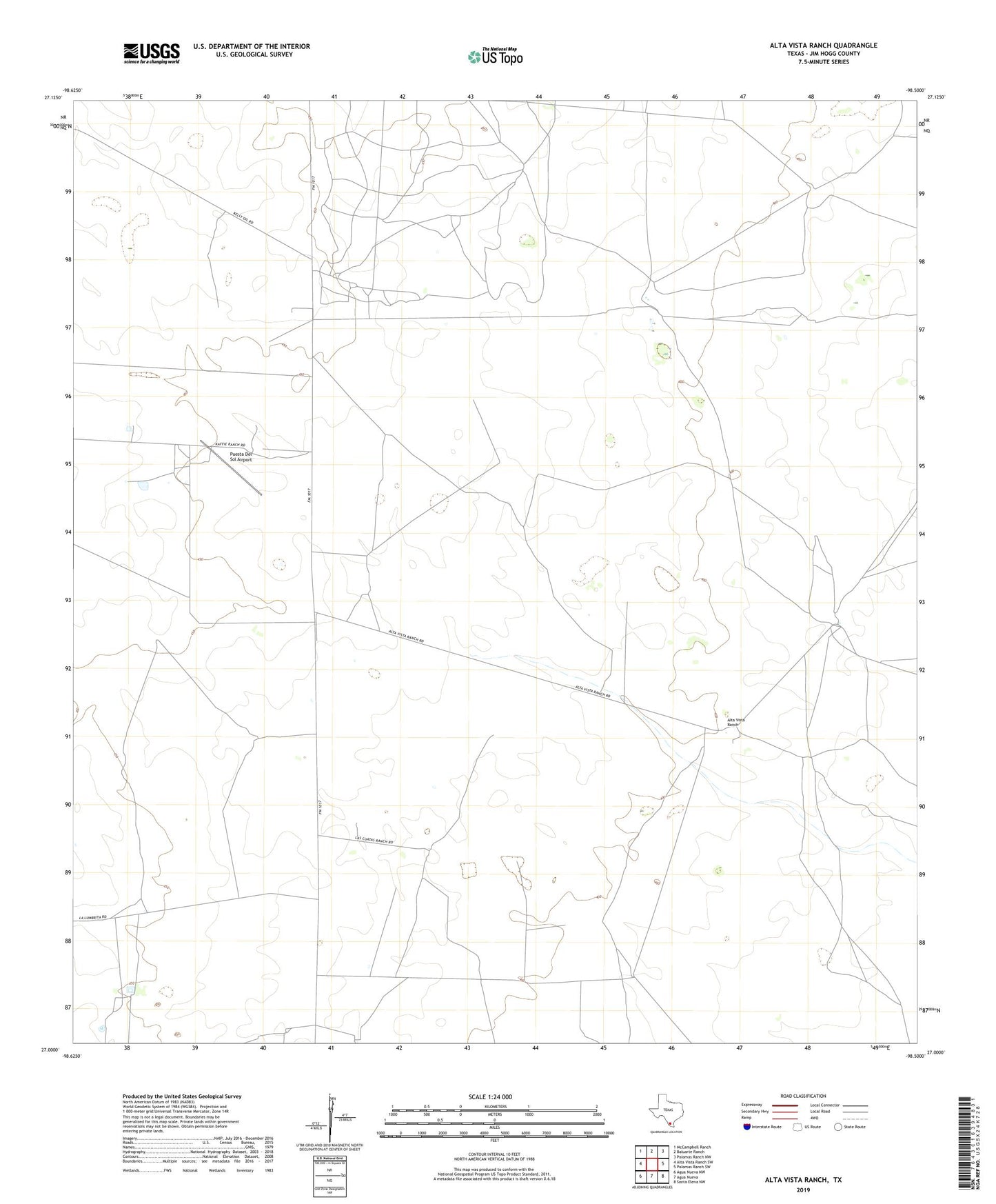
2019 topographic map quadrangle Alta Vista Ranch in the state of Texas. Scale: 1:24000. Based on the newly updated USGS 7.5' US Topo map series, this map is in the following counties: Jim Hogg. The map contains contour data, water features, and other items you are used to seeing on USGS maps, but also has updated roads and other features. This is the next generation of topographic maps. Printed on high-quality waterproof paper with UV fade-resistant inks.
Quads adjacent to this one:
West: Alta Vista Ranch SW
Northwest: McCampbell Ranch
North: Baluarte Ranch
Northeast: Palomas Ranch NW
East: Palomas Ranch SW
Southeast: Santa Elena NW
South: Agua Nueva
Southwest: Agua Nueva NW
Contains the following named places: Agapito Windmill, Alta Vista Ranch, Alto Windmill, Bueno Vista Windmill, Charco Windmill, Cinco de Mayo Windmill, Cuatro de Julio Windmill, El Cuero Well, El Norte Windmill, Golondrina Windmill, Guilita Windmill, Kaffie Ranch, La Huerta Windmill, Las Cuatas Ranch, Las Cuatitas Windmill, Mala Suerte Windmill, Medieros Windmill, Nochesitas Windmill, Palito Blanco Windmill, Pero Grande Windmill, Perrito Windmill, Posito Cerca Windmill, Puesta Del Sol Airport, Reposa Ranch, Retama Windmill, San Juan Windmill, San Rafael Windmill, Soledad Windmill, Trampa Colorado Windmill, Tres Mesquites Windmill, Windmill Number Seven