MyTopo
Santa Elena NW Texas US Topo Map
Couldn't load pickup availability
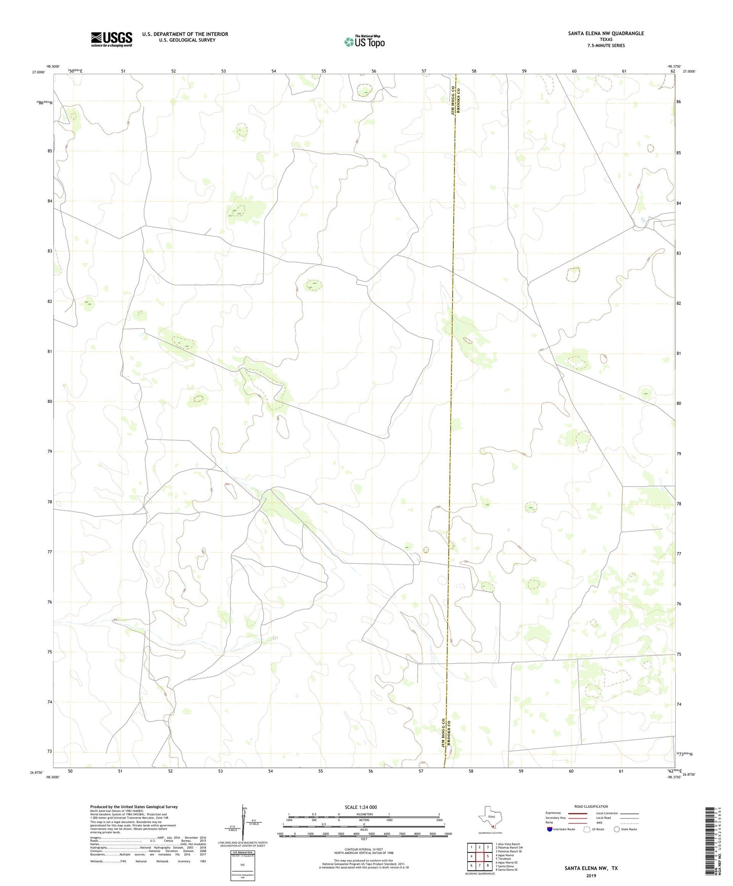
2022 topographic map quadrangle Santa Elena NW in the state of Texas. Scale: 1:24000. Based on the newly updated USGS 7.5' US Topo map series, this map is in the following counties: Jim Hogg, Brooks. The map contains contour data, water features, and other items you are used to seeing on USGS maps, but also has updated roads and other features. This is the next generation of topographic maps. Printed on high-quality waterproof paper with UV fade-resistant inks.
Quads adjacent to this one:
West: Agua Nueva
Northwest: Alta Vista Ranch
North: Palomas Ranch SW
Northeast: Palomas Ranch SE
East: Tacubaya
Southeast: Santa Elena SE
South: Santa Elena
Southwest: Agua Nueva SE
This map covers the same area as the classic USGS quad with code o26098h4.
Contains the following named places: Agua Dulce Windmill, Alta Vista Windmill, Alto Bonito Well, Ballo Windmill, Bonita Windmill, Cotulla Windmill, El Gallo Windmill, El Jardin Windmill, El Javalin Windmill, Huisache Windmill, La Esquina Windmill, Las Animas Windmill, Las Mojadas Windmill, Lolo Windmill, Mama Windmill, Manuel Windmill, Mil Pesos Well, Norte Windmill, Posita Windmill, San Pedro Windmill