MyTopo
Palomas Ranch SW Texas US Topo Map
Couldn't load pickup availability
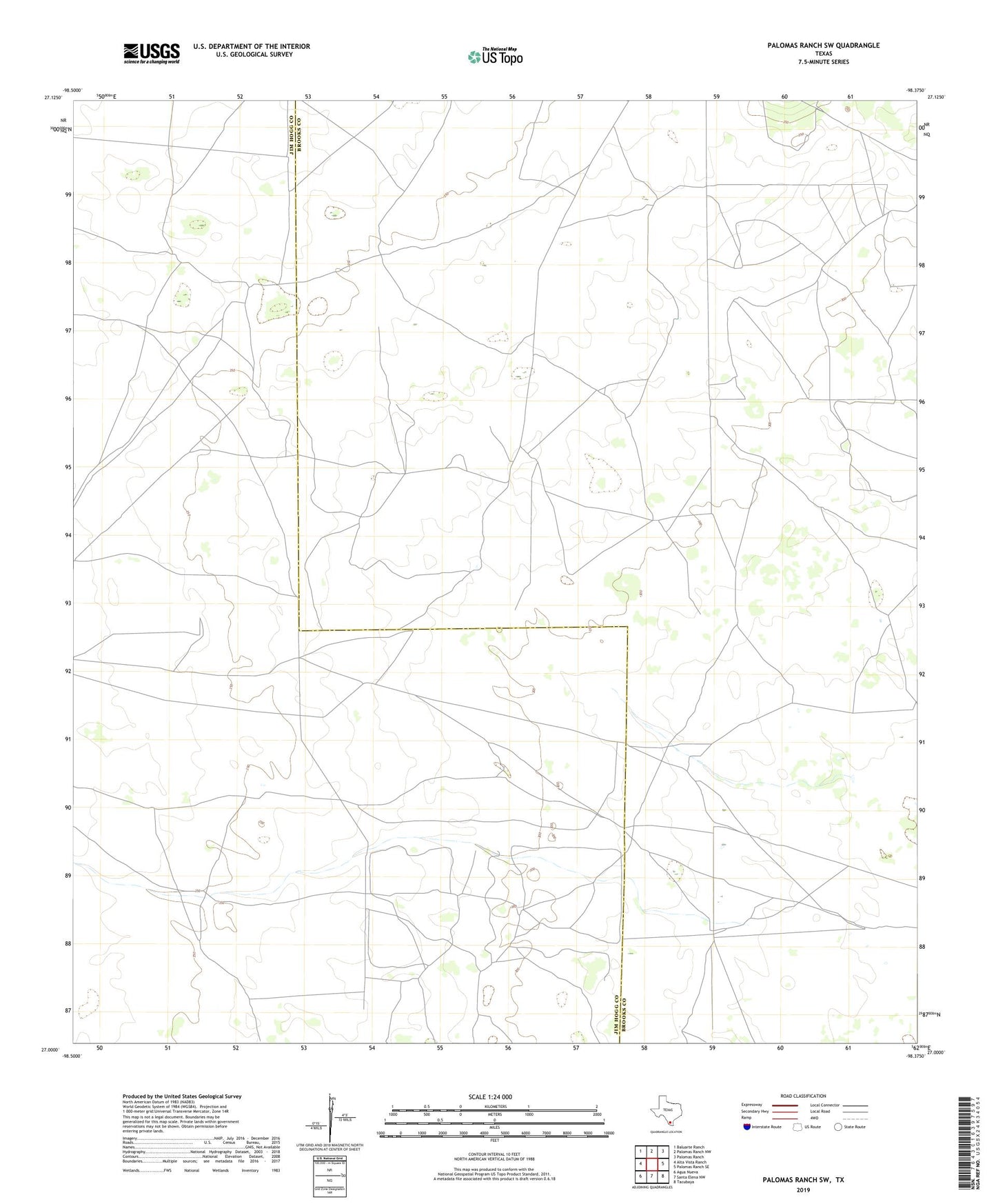
2022 topographic map quadrangle Palomas Ranch SW in the state of Texas. Scale: 1:24000. Based on the newly updated USGS 7.5' US Topo map series, this map is in the following counties: Brooks, Jim Hogg. The map contains contour data, water features, and other items you are used to seeing on USGS maps, but also has updated roads and other features. This is the next generation of topographic maps. Printed on high-quality waterproof paper with UV fade-resistant inks.
Quads adjacent to this one:
West: Alta Vista Ranch
Northwest: Baluarte Ranch
North: Palomas Ranch NW
Northeast: Palomas Ranch
East: Palomas Ranch SE
Southeast: Tacubaya
South: Santa Elena NW
Southwest: Agua Nueva
This map covers the same area as the classic USGS quad with code o27098a4.
Contains the following named places: Agua Dulce Windmill, Agua Nueva Windmill, Avispa Windmill, Blanco Windmill, Certificad Windmill, Chocolate Windmill, Cograge Windmill, Cuervo Windmill, El Bano Windmill, Gragenitos Windmill, La Javalina Windmill, Las Coyotas Windmill, Lindero Well, Mocho Windmill, Mota Chica Windmill, Northe Windmill, Paisano Windmill, Raviosa Well, San Javier de Ajuera Windmill, Senisoco Windmill, Tasajal Windmill, Tula Windmill