MyTopo
Trawick Texas US Topo Map
Couldn't load pickup availability
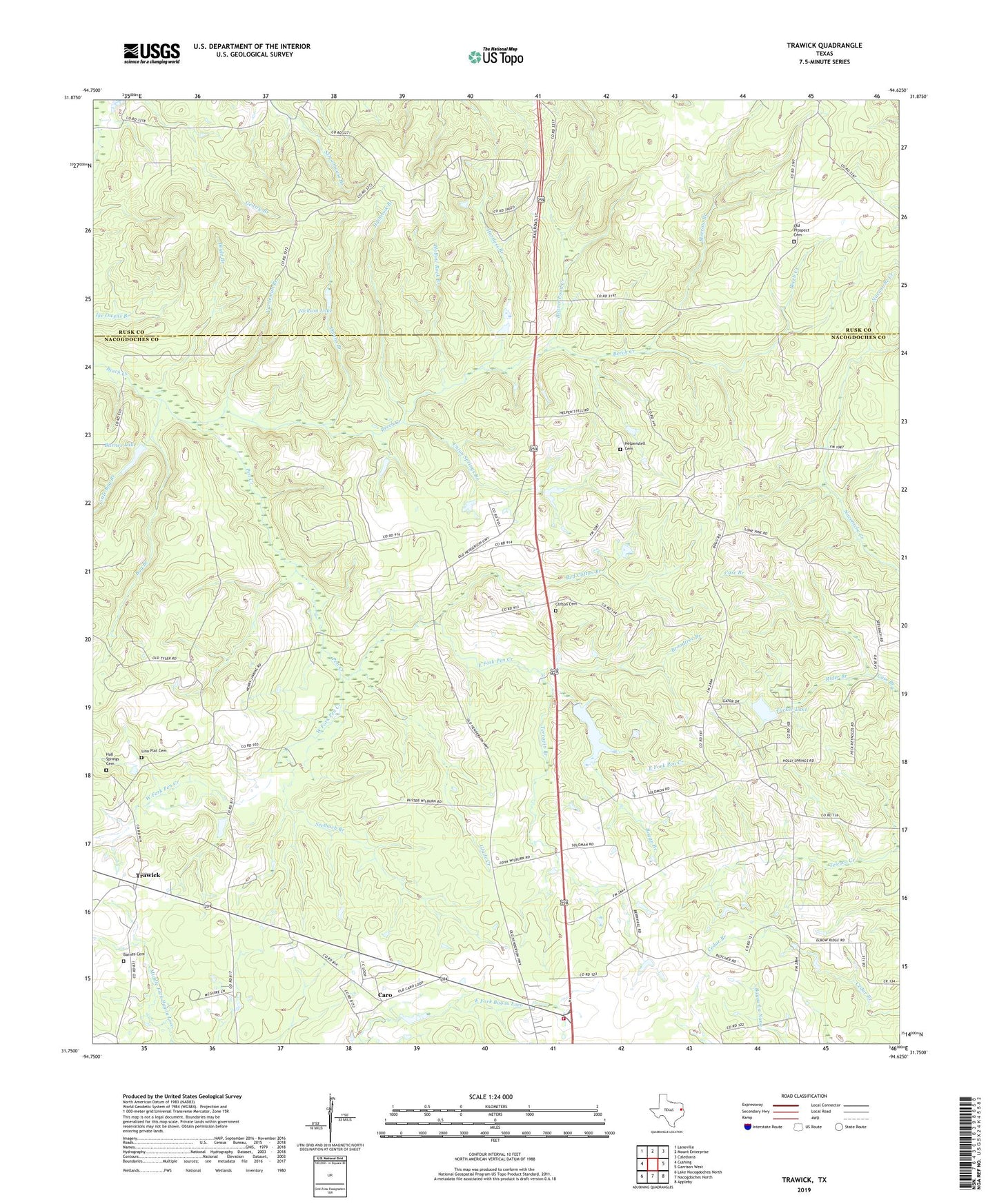
2022 topographic map quadrangle Trawick in the state of Texas. Scale: 1:24000. Based on the newly updated USGS 7.5' US Topo map series, this map is in the following counties: Nacogdoches, Rusk. The map contains contour data, water features, and other items you are used to seeing on USGS maps, but also has updated roads and other features. This is the next generation of topographic maps. Printed on high-quality waterproof paper with UV fade-resistant inks.
Quads adjacent to this one:
West: Cushing
Northwest: Laneville
North: Mount Enterprise
Northeast: Caledonia
East: Garrison West
Southeast: Appleby
South: Nacogdoches North
Southwest: Lake Nacogdoches North
This map covers the same area as the classic USGS quad with code o31094g6.
Contains the following named places: Barnes Cemetery, Barnes Lake, Beaver Pond Creek, Bog Branch, Boggy Branch, Boyle Branch, Broadtree Branch, Caro, Caro Pine Lake, Caro Pine Lake Dam, Central Heights Volunteer Fire Department, Clifton Cemetery, East Fork Pen Creek, Glade Creek, Halbrook Branch, Hartless Branch, Helpenstell Cemetery, Hollow Rock Branch, Holly Grove Church, Holly Lake, Holly Lake Dam, Isabell Chapel, Jackson Lake, Langford Lake, Langford Lake Dam, Linn Flat, Linn Flat Cemetery, Linn Flat Cemetery Number 1, Little Bog Branch, Morrow Branch, Old Prospect Cemetery, Old Prospect Church, Owens Branch, Pen Creek, Pleasant Hill, Pleasant Hill Church, Red Clifton Branch, Rider Branch, Seelbach Branch, Terrapin Branch, Trawick, Trawick Gas Field, Tucker Lake, Union Springs Branch, Union Springs Church, Vardeman Branch, West Fork Pen Creek