MyTopo
Archer City NE Texas US Topo Map
Couldn't load pickup availability
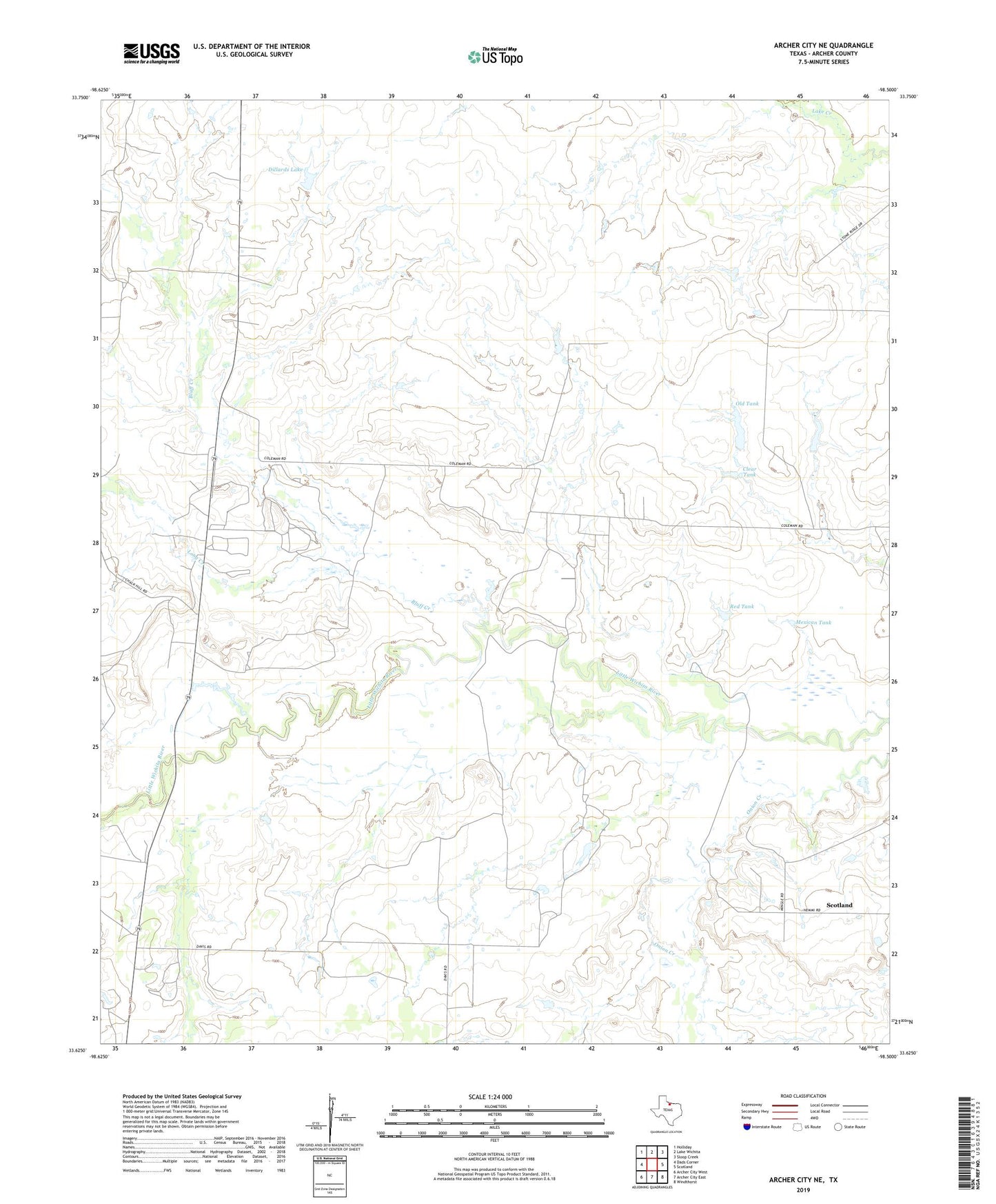
2019 topographic map quadrangle Archer City NE in the state of Texas. Scale: 1:24000. Based on the newly updated USGS 7.5' US Topo map series, this map is in the following counties: Archer. The map contains contour data, water features, and other items you are used to seeing on USGS maps, but also has updated roads and other features. This is the next generation of topographic maps. Printed on high-quality waterproof paper with UV fade-resistant inks.
Quads adjacent to this one:
West: Dads Corner
Northwest: Holliday
North: Lake Wichita
Northeast: Sloop Creek
East: Scotland
Southeast: Windthorst
South: Archer City East
Southwest: Archer City West
Contains the following named places: Akin Dimock Oil Field, Bluff Creek, Chalk Hill Oil Field, Clear Tank, Coleman Ranch, Dillards Lake, Dillards Lake Dam, Edwards Ranch, Long Creek, Luke Wilson, Mexican Tank, Minton-Strawn Oil Field, Mule Shoe Ranch, Northwest Windthorst Oil Field, Old Tank, Onion Creek, Red Tank, Scotland-Little Wichita Oil Field