MyTopo
Dads Corner Texas US Topo Map
Couldn't load pickup availability
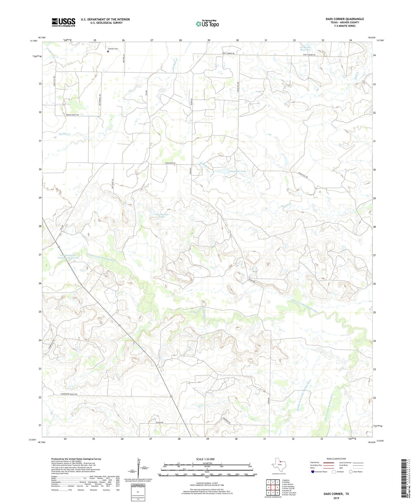
2022 topographic map quadrangle Dads Corner in the state of Texas. Scale: 1:24000. Based on the newly updated USGS 7.5' US Topo map series, this map is in the following counties: Archer. The map contains contour data, water features, and other items you are used to seeing on USGS maps, but also has updated roads and other features. This is the next generation of topographic maps. Printed on high-quality waterproof paper with UV fade-resistant inks.
Quads adjacent to this one:
West: Lake Kickapoo
Northwest: Mankins
North: Holliday
Northeast: Lake Wichita
East: Archer City NE
Southeast: Archer City East
South: Archer City West
Southwest: Dundee SE
This map covers the same area as the classic USGS quad with code o33098f6.
Contains the following named places: C P Burton Dam, Cole Storage Tank, Cole Storage Tank Dam, Continental Oil Company Dam, Continental Oil Company Reservoir, Cp Burton Reservoir, Dads Corner, Middle Fork Little Wichita River, North Fork Little Wichita River, Oil Investment Company Dam, Oil Investment Company Reservoir, South Fork Little Wichita River, Stewart Cemetery, Turbeville Oil Field, Windmill Tank