MyTopo
Bascom Texas US Topo Map
Couldn't load pickup availability
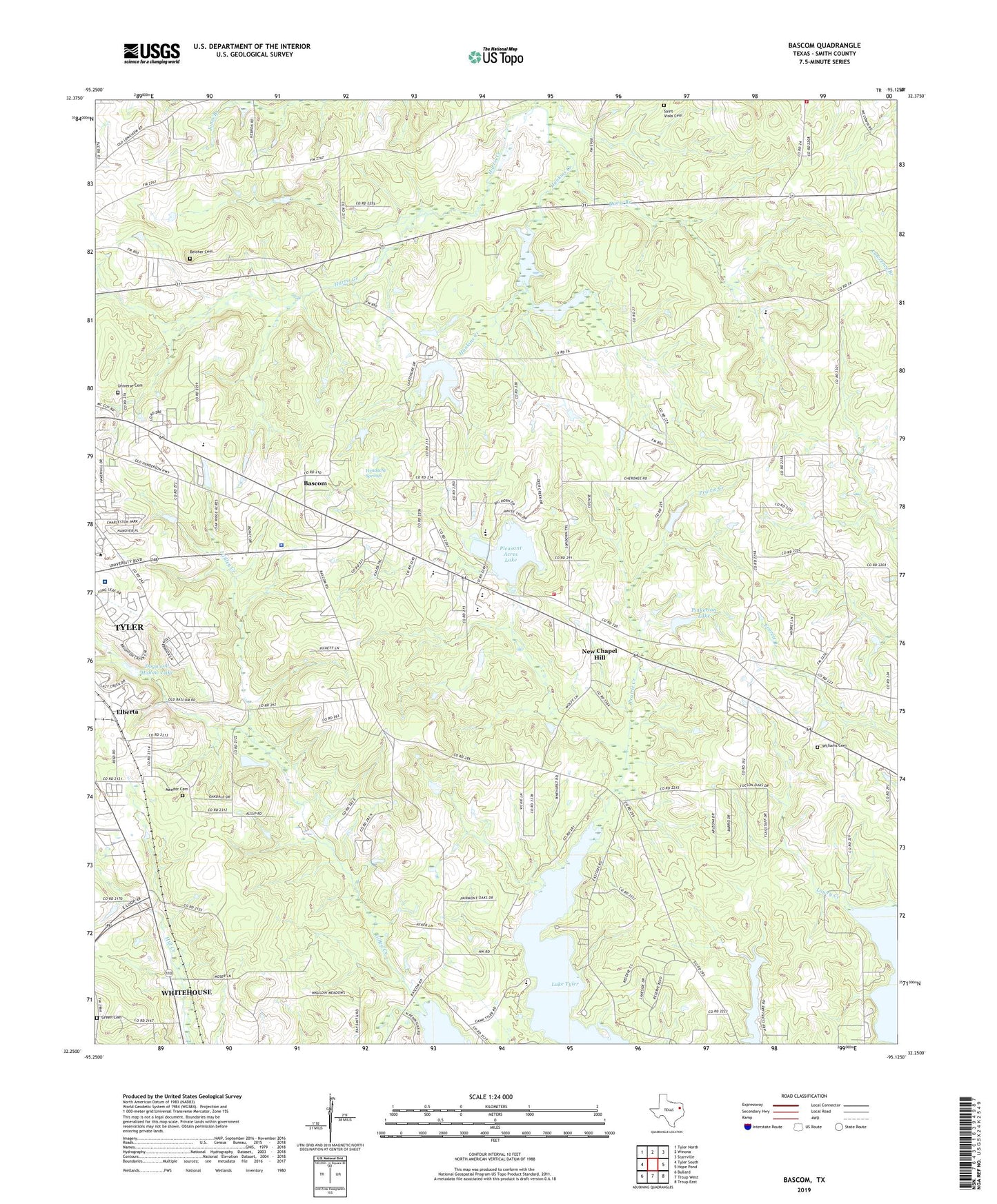
2022 topographic map quadrangle Bascom in the state of Texas. Scale: 1:24000. Based on the newly updated USGS 7.5' US Topo map series, this map is in the following counties: Smith. The map contains contour data, water features, and other items you are used to seeing on USGS maps, but also has updated roads and other features. This is the next generation of topographic maps. Printed on high-quality waterproof paper with UV fade-resistant inks.
Quads adjacent to this one:
West: Tyler South
Northwest: Tyler North
North: Winona
Northeast: Starrville
East: Hope Pond
Southeast: Troup East
South: Troup West
Southwest: Bullard
This map covers the same area as the classic USGS quad with code o32095c2.
Contains the following named places: Arp Club Dam, Arp Club Lake, Azalea Garden Church of God, Bascom, Bascom Church, Belcher Cemetery, Bethel Baptist Church, Camp Tyler, Chapel Hill, Chapel Hill Fire Department, Chapel Hill High School, Chapel Hill Middle School, City of New Chapel Hill, Davis Branch, Dogwood Hollow Lake, Dogwood Hollow Lake Dam, DPS-Tyler Heliport, East Texas Medical Center - Behavioral Health Center, Elberta, Emmanuel Church, Green Cemetery, Hankins Creek, Headache Springs, Headache Springs Natural Park, Horseshoe Club Lake Dam, Horseshoe Lake, Jackson Heights Volunteer Fire Department, Jackson School, KISX-FM (Whitehouse), KTBB-AM (Tyler), Lake Tyler Baptist Church, Landmark Baptist Church, Lanes Church, Lowry Creek, Meador Cemetery, New Chapel Hill, New Zion Church, Patriot Center, Pinkerton Lake, Pinkerton Lake Dam, Pleasant Acres Lake, Pleasant Hill Church, Pleasure Acres Lake Dam, Saint Viola Cemetery, Sharon Church, Smith County Sheriff's Office, Texas Highway Patrol Office - Tyler, Texas State Quail Farm, Universe Church, University Baptist Church, University Cemetery, University Church of Christ, W L Kissam Intermediate School, Williams Cemetery, Wise Elementary School, ZIP Code: 75707


