MyTopo
Beef Hollow Creek Texas US Topo Map
Couldn't load pickup availability
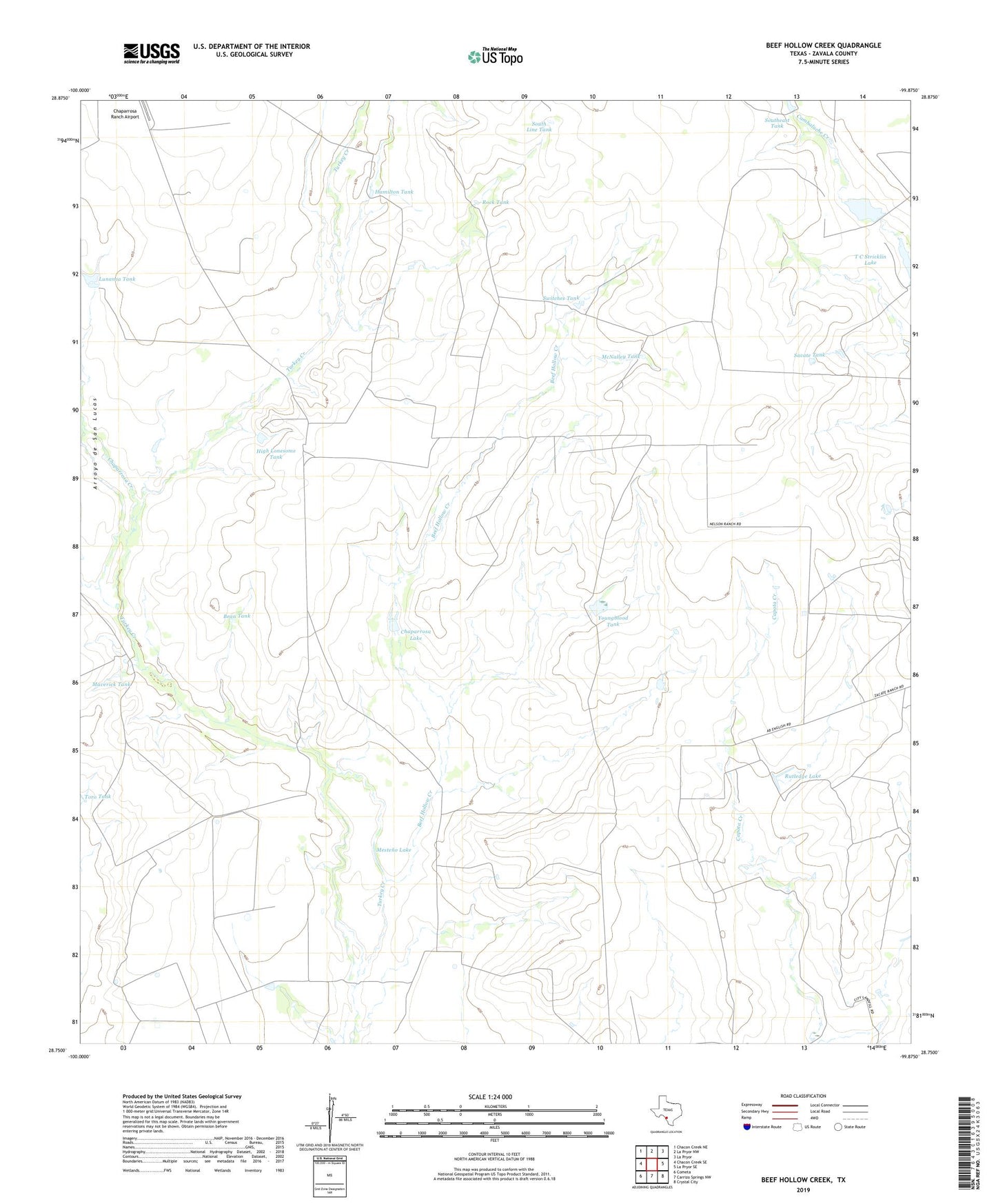
2022 topographic map quadrangle Beef Hollow Creek in the state of Texas. Scale: 1:24000. Based on the newly updated USGS 7.5' US Topo map series, this map is in the following counties: Zavala. The map contains contour data, water features, and other items you are used to seeing on USGS maps, but also has updated roads and other features. This is the next generation of topographic maps. Printed on high-quality waterproof paper with UV fade-resistant inks.
Quads adjacent to this one:
West: Chacon Creek SE
Northwest: Chacon Creek NE
North: La Pryor NW
Northeast: La Pryor
East: La Pryor SE
Southeast: Crystal City
South: Carrizo Springs NW
Southwest: Cometa
This map covers the same area as the classic USGS quad with code o28099g8.
Contains the following named places: Alto Windmill, Arroyo de San Lucas, Bean Tank, Beef Hollow Creek, Chaparrosa Creek, Chaparrosa Lake, Chaparrosa Lake Dam, Conejo Well, Hamilton Tank, High Lonesome Camp, High Lonesome Tank, High Lonesome Windmill, Lunanca Tank, Maverick Tank, McNalley Tank, McNalley Windmill, Mesteno Lake, Mesteno Windmill, Rock Tank, Rutledge Lake, Rutledge Lake Dam, Sacate Tank, South Line Tank, Southeast Tank, Switches Tank, T C Stricklin Lake, Toro Tank, Youngblood Tank