MyTopo
Bentsen Ranch Texas US Topo Map
Couldn't load pickup availability
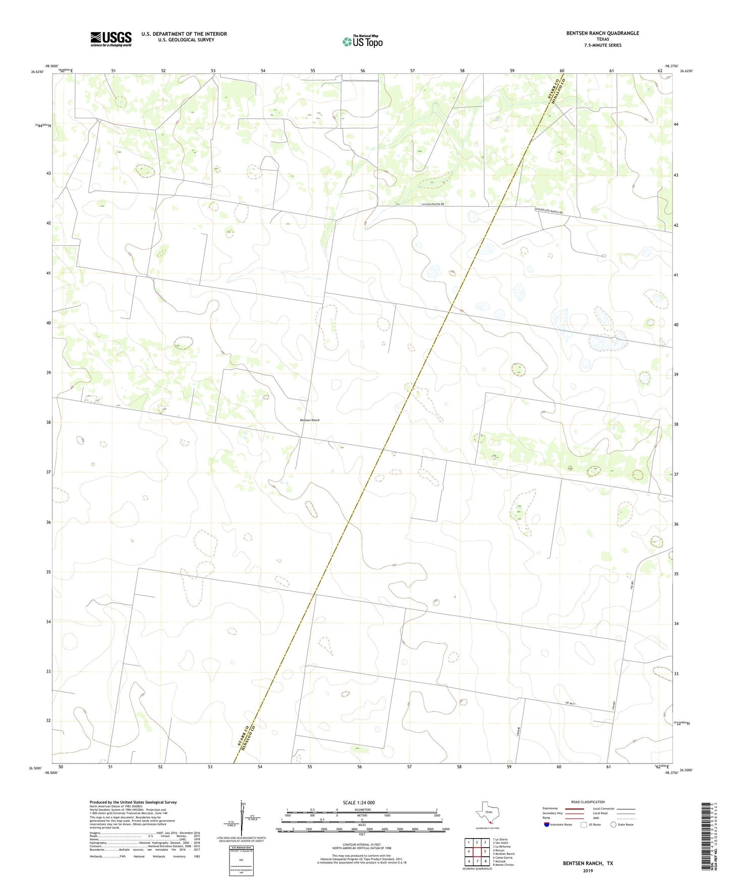
2022 topographic map quadrangle Bentsen Ranch in the state of Texas. Scale: 1:24000. Based on the newly updated USGS 7.5' US Topo map series, this map is in the following counties: Hidalgo, Starr. The map contains contour data, water features, and other items you are used to seeing on USGS maps, but also has updated roads and other features. This is the next generation of topographic maps. Printed on high-quality waterproof paper with UV fade-resistant inks.
Quads adjacent to this one:
West: Rincon
Northwest: La Gloria
North: San Isidro
Northeast: La Reforma
East: McAllen Ranch
Southeast: Monte Christo
South: McCook
Southwest: Camp Garcia
This map covers the same area as the classic USGS quad with code o26098e4.
Contains the following named places: Bentsen Ranch, El Benadito Oil and Gas Field, El Saucito Well, Guagial Windmill, Guarcahe Windmill, Hinde Oil Field, La Matansa Windmill, Lanarine Windmill, Loraleno Windmill, West Loraleno Windmill, Yoseda Windmill