MyTopo
La Reforma Texas US Topo Map
Couldn't load pickup availability
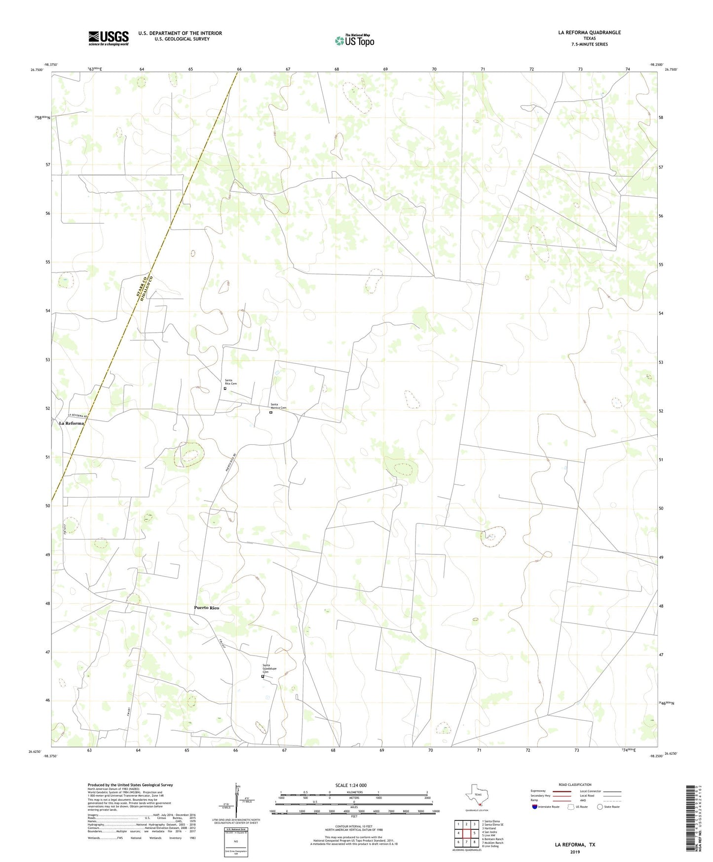
2022 topographic map quadrangle La Reforma in the state of Texas. Scale: 1:24000. Based on the newly updated USGS 7.5' US Topo map series, this map is in the following counties: Hidalgo, Starr. The map contains contour data, water features, and other items you are used to seeing on USGS maps, but also has updated roads and other features. This is the next generation of topographic maps. Printed on high-quality waterproof paper with UV fade-resistant inks.
Quads adjacent to this one:
West: San Isidro
Northwest: Santa Elena
North: Santa Elena SE
Northeast: Hartland
East: Linn NW
Southeast: Linn Siding
South: McAllen Ranch
Southwest: Bentsen Ranch
This map covers the same area as the classic USGS quad with code o26098f3.
Contains the following named places: Alaniz Windmill, Alto Bonito Well, Bella Vista Windmill, Christalinas Windmill, Cipres, El Chapote Windmill, El Javalin Windmill, El Nuevo Windmill, El Perro Windmill, El Torero Windmill, El Toro Windmill, Florida Windmill, Guadalupe Toreros Church, Hargrove Windmill, La Pureta Windmill, La Reforma, La Rosita Windmill, Las Margaritas Windmill, Los Angeles Windmill, Noche Buena Windmill, Puerto Rico, Santa Guadalupe Cemetery, Santa Monica Cemetery, Santa Rita Cemetery, ZIP Code: 78563