MyTopo
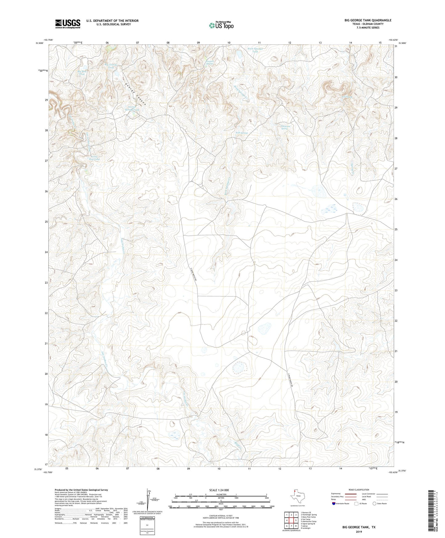
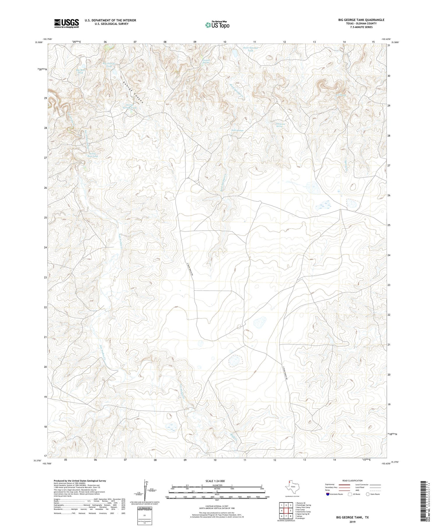
Big George Tank Texas US Topo Map
Couldn't load pickup availability
2019 topographic map quadrangle Big George Tank in the state of Texas. Scale: 1:24000. Based on the newly updated USGS 7.5' US Topo map series, this map is in the following counties: Oldham. The map contains contour data, water features, and other items you are used to seeing on USGS maps, but also has updated roads and other features. This is the next generation of topographic maps. Printed on high-quality waterproof paper with UV fade-resistant inks.
Quads adjacent to this one:
West: Vat Camp
Northwest: Romero SE
North: Humdinger Spring
Northeast: Many Post Camp
East: Alamocitos Camp
Southeast: Landergin
South: Adrian
Southwest: Signal Spring SE
Contains the following named places: Alamocitos Windmill, Big George Tank, Big George Tank Dam, Big Red Tank, Bluff Creek, Bluff Creek Windmill, Cheyenne Spring, Cottonwood Windmill, Four Way Windmill, George Camp, George Spring Tank, Joaquin Springs, Las S Windmill, Little Red Tank, Lost Spring, Matador Camp, New Las S Windmill, Old Las S Windmill, Plains Windmill, Rock Springs, Rock Springs Tank, Rock Springs Tank Dam, Spring Tank, West Alamocitos Windmill, West Dam Creek, Windmill Number Five, Windmill Number One, Windmill Number Six, Windmill Number Three, Windmill Number Two