MyTopo
Boggy Lake Texas US Topo Map
Couldn't load pickup availability
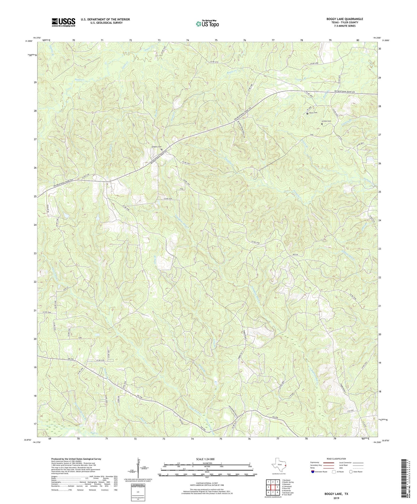
2019 topographic map quadrangle Boggy Lake in the state of Texas. Scale: 1:24000. Based on the newly updated USGS 7.5' US Topo map series, this map is in the following counties: Tyler. The map contains contour data, water features, and other items you are used to seeing on USGS maps, but also has updated roads and other features. This is the next generation of topographic maps. Printed on high-quality waterproof paper with UV fade-resistant inks.
Quads adjacent to this one:
West: Colmesneil
Northwest: Rockland
North: Boykin Spring
Northeast: Ebenezer
East: Pace Hill
Southeast: Town Bluff
South: Birdwell Lake
Southwest: Woodville
Contains the following named places: Bean Creek, Boggy Branch, Cowpen Branch, Davis Cemetery, Graveyard Branch, Gregory Cemetery, Grimes Cemetery, Holly Fork Church, Little Creek, Long Branch, Mount Carmel Church, Oak Grove Church, Ross Branch, Smith Ferry Lookout Tower, Snowden Spring Branch, Tatum Branch, ZIP Code: 75938