MyTopo
Brice Texas US Topo Map
Couldn't load pickup availability
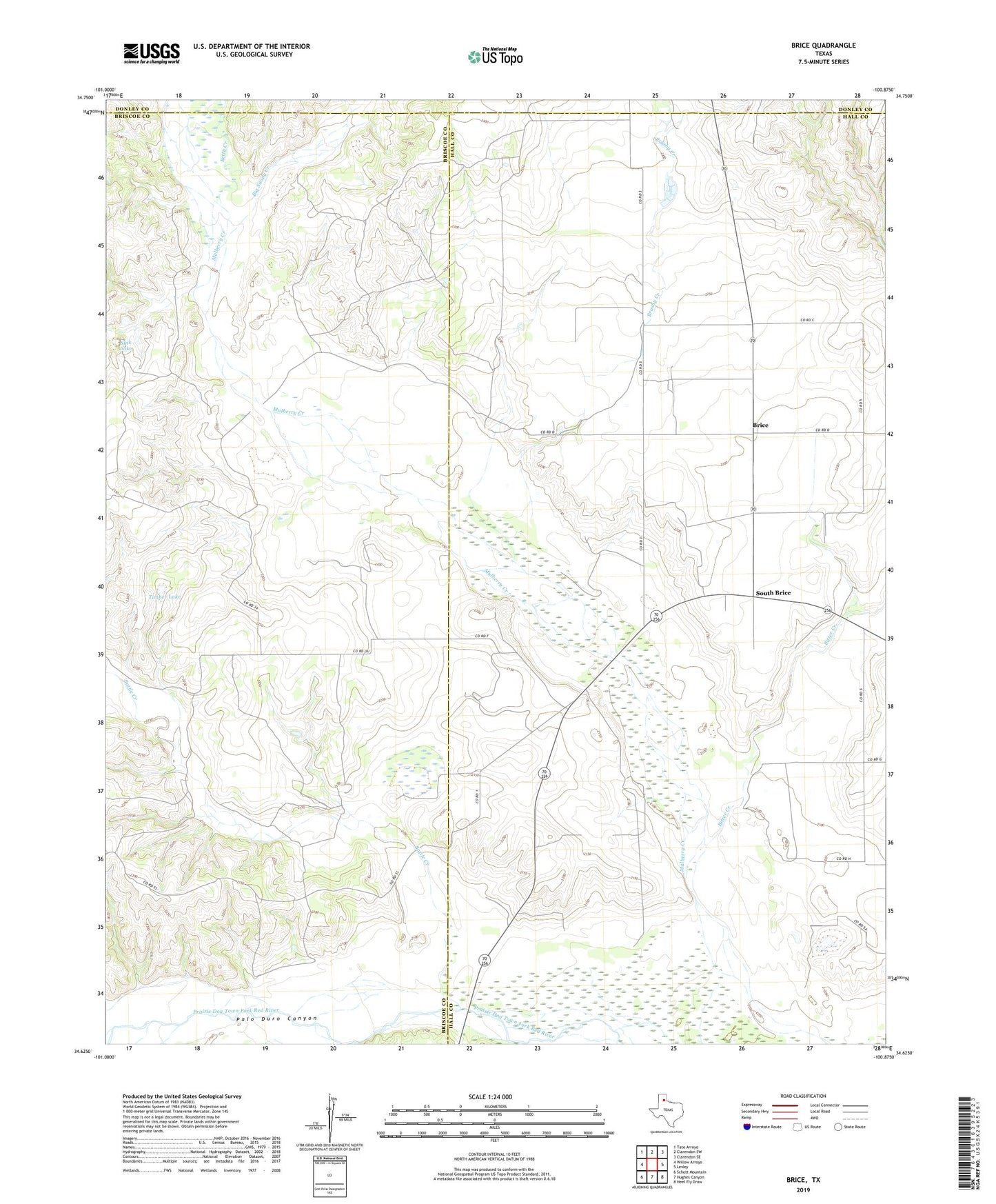
2022 topographic map quadrangle Brice in the state of Texas. Scale: 1:24000. Based on the newly updated USGS 7.5' US Topo map series, this map is in the following counties: Hall, Briscoe, Donley. The map contains contour data, water features, and other items you are used to seeing on USGS maps, but also has updated roads and other features. This is the next generation of topographic maps. Printed on high-quality waterproof paper with UV fade-resistant inks.
Quads adjacent to this one:
West: Willow Arroyo
Northwest: Tate Arroyo
North: Clarendon SW
Northeast: Clarendon SE
East: Lesley
Southeast: Heel Fly Draw
South: Hughes Canyon
Southwest: Schott Mountain
This map covers the same area as the classic USGS quad with code o34100f8.
Contains the following named places: Antelope Creek, Battle Creek, Betty Creek, Big Sandy Creek, Brice, Brushy Creek, Hickman School, Palo Duro Canyon, Sink Lake, South Brice, Timber Lake