MyTopo
Brown Cedar Cut Texas US Topo Map
Couldn't load pickup availability
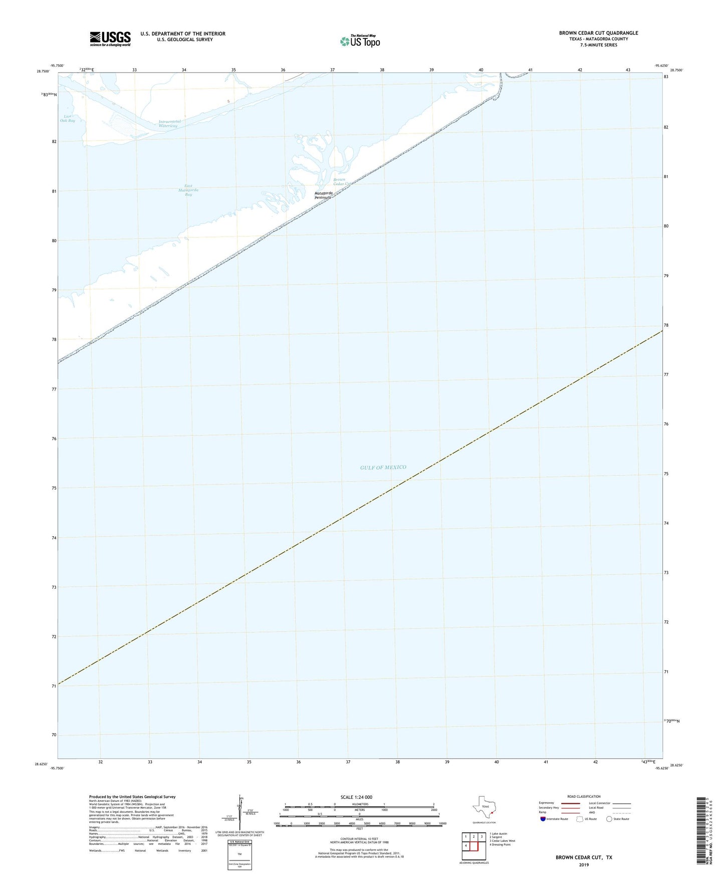
2025 topographic map quadrangle Brown Cedar Cut in the state of Texas. Scale: 1:24000. Based on the newly updated USGS 7.5' US Topo map series, this map is in the following counties: Matagorda. The map contains contour data, water features, and other items you are used to seeing on USGS maps, but also has updated roads and other features. This is the next generation of topographic maps. Printed on high-quality waterproof paper with UV fade-resistant inks.
Quads adjacent to this one:
West: Dressing Point
Northwest: Lake Austin
North: Sargent
Northeast: Cedar Lakes West
This map covers the same area as the classic USGS quad with code o28095f6.
Contains the following named places: Boggy Bayou, Brown Cedar Cut, Turkey Island Slough