MyTopo
Caddo Texas US Topo Map
Couldn't load pickup availability
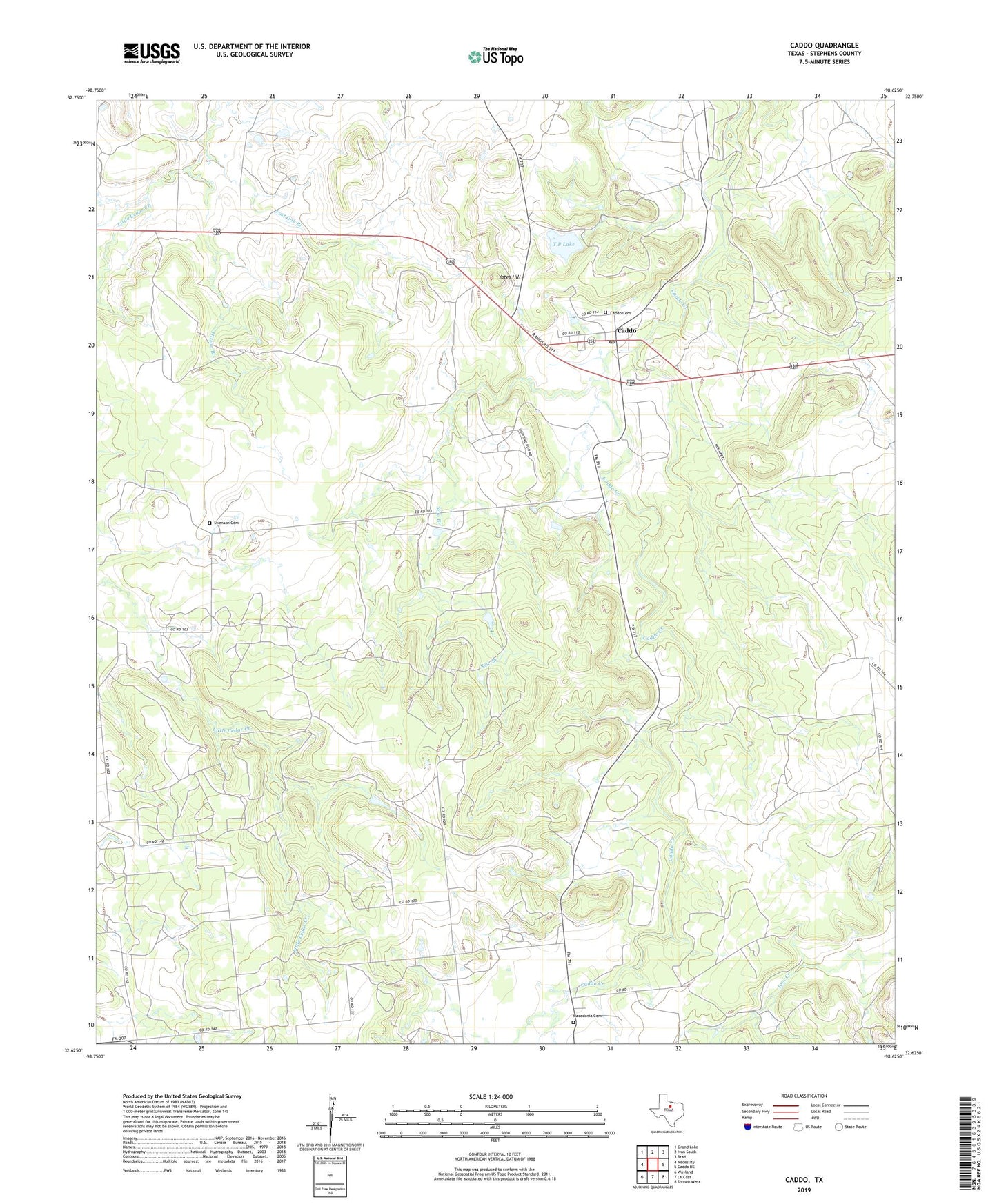
2022 topographic map quadrangle Caddo in the state of Texas. Scale: 1:24000. Based on the newly updated USGS 7.5' US Topo map series, this map is in the following counties: Stephens. The map contains contour data, water features, and other items you are used to seeing on USGS maps, but also has updated roads and other features. This is the next generation of topographic maps. Printed on high-quality waterproof paper with UV fade-resistant inks.
Quads adjacent to this one:
West: Necessity
Northwest: Grand Lake
North: Ivan South
Northeast: Brad
East: Caddo NE
Southeast: Strawn West
South: La Casa
Southwest: Wayland
This map covers the same area as the classic USGS quad with code o32098f6.
Contains the following named places: Caddo, Caddo Cemetery, Caddo Post Office, Carey Lake, Carey Lake Dam, Gourley Oil Field, Hitson Branch, Macedonia Cemetery, Ohio Oil Company Lake Dam, Ohio Oil Company Reservoir, Post Oak Branch, Rogers Dam, Rogers Lake, Sow Branch, Swenson Cemetery, T P Lake, Yates Hill