MyTopo
Strawn West Texas US Topo Map
Couldn't load pickup availability
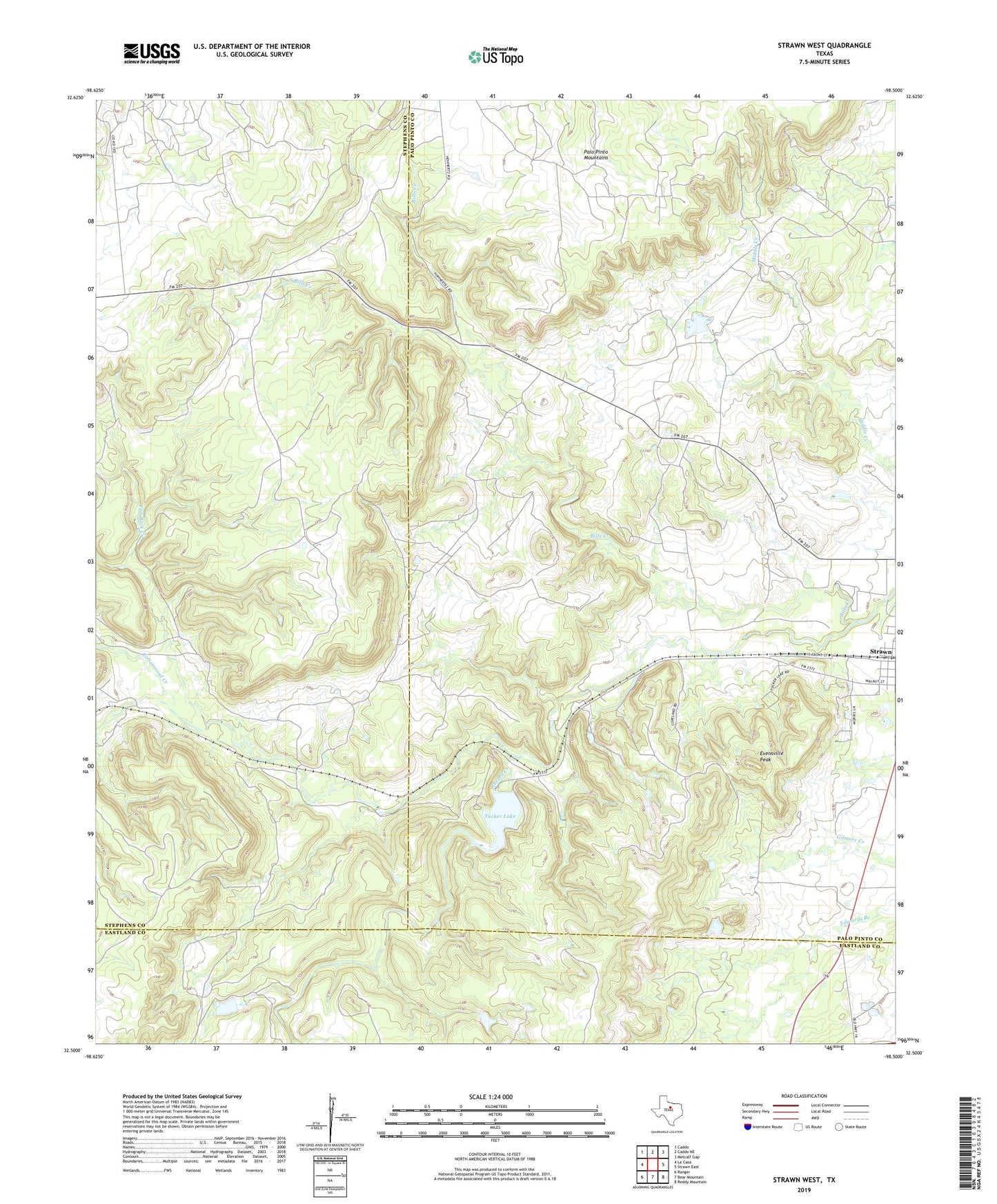
2022 topographic map quadrangle Strawn West in the state of Texas. Scale: 1:24000. Based on the newly updated USGS 7.5' US Topo map series, this map is in the following counties: Palo Pinto, Stephens, Eastland. The map contains contour data, water features, and other items you are used to seeing on USGS maps, but also has updated roads and other features. This is the next generation of topographic maps. Printed on high-quality waterproof paper with UV fade-resistant inks.
Quads adjacent to this one:
West: La Casa
Northwest: Caddo
North: Caddo NE
Northeast: Metcalf Gap
East: Strawn East
Southeast: Reddy Mountain
South: Bear Mountain
Southwest: Ranger
This map covers the same area as the classic USGS quad with code o32098e5.
Contains the following named places: Bills Creek, Cottonwood Creek, Double Gates Lake, Double Gates Lake Dam, Evensville Peak, Flat Rock Creek, Greyhound Stadium, Henslee Lake Number 3, Henslee Lake Number 3 Dam, Lake Tucker Dam, Russell Creek, South Bills Creek, Tucker Lake