MyTopo
Caiman Creek SE Texas US Topo Map
Couldn't load pickup availability
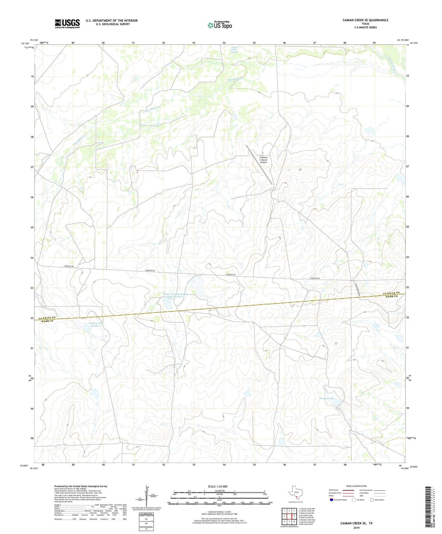
2022 topographic map quadrangle Caiman Creek SE in the state of Texas. Scale: 1:24000. Based on the newly updated USGS 7.5' US Topo map series, this map is in the following counties: La Salle, Webb. The map contains contour data, water features, and other items you are used to seeing on USGS maps, but also has updated roads and other features. This is the next generation of topographic maps. Printed on high-quality waterproof paper with UV fade-resistant inks.
Quads adjacent to this one:
West: Live Oak Creek
Northwest: Caiman Creek NW
North: Caiman Creek NE
Northeast: Piedra Creek NW
East: Piedra Creek SW
Southeast: Biel Lake North
South: Alamito Creek NE
Southwest: Venado Creek East
This map covers the same area as the classic USGS quad with code o28099a1.
Contains the following named places: Crescent C Ranch Airport, Los Olmos Creek, Monte Cartado Ranch Tank Number 1, Monte Cartado Ranch Tank Number 1 Dam, Monte Cartado Ranch Tank Number 2, Monte Cartado Ranch Tank Number 2 Dam, Nunley Lake Number 3, Nunley Lake Number 3 Dam, Traylor Lake, Traylor Lake Dam