MyTopo
Center Point Texas US Topo Map
Couldn't load pickup availability
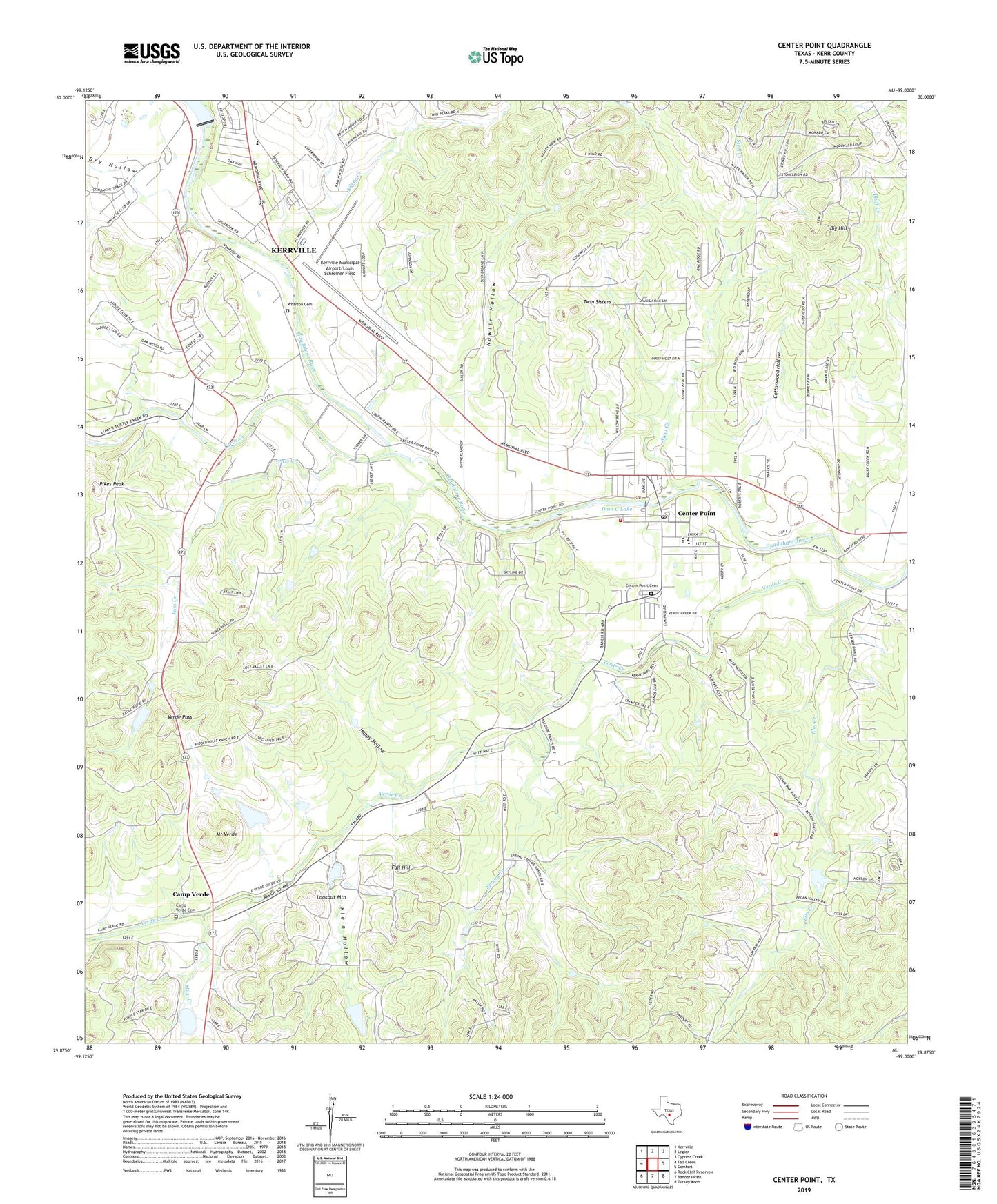
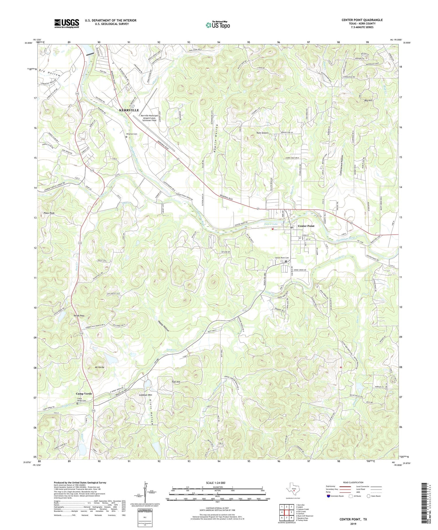
2019 topographic map quadrangle Center Point in the state of Texas. Scale: 1:24000. Based on the newly updated USGS 7.5' US Topo map series, this map is in the following counties: Kerr. The map contains contour data, water features, and other items you are used to seeing on USGS maps, but also has updated roads and other features. This is the next generation of topographic maps. Printed on high-quality waterproof paper with UV fade-resistant inks.
Quads adjacent to this one:
West: Fall Creek
Northwest: Kerrville
North: Legion
Northeast: Cypress Creek
East: Comfort
Southeast: Turkey Knob
South: Bandera Pass
Southwest: Rock Cliff Reservoir
Contains the following named places: Big Hill, Bolin Family Cemetery, Camp Christian, Camp Verde, Camp Verde Cemetery, Center Point, Center Point Cemetery, Center Point Census Designated Place, Center Point Lake, Center Point Lake Dam, Center Point Post Office, Center Point Volunteer Fire Department, Cottonwood Hollow, Dam C Lake, Dry Hollow, Elm Creek, Fall Hill, Flat Rock Dam, Flatrock Park, Guadalupe Heights, Happy Hollow, H-Bar-H Ranch, Kerrville Lake Dam, Kerrville Municipal Airport/Louis Schreiner Field, Klein Hollow, Lookout Mountain, Mico Creek, Mount Verde, Nowlin Hollow, Old Camp Verde, Pass Creek, Pikes Peak, Shady Grove, Silver Creek, Spring Creek, Starlite Recovery Center, Steel Creek, Tuck Lake, Tuck Lake Dam, Turtle Creek, Twin Sisters, Verde Creek, Verde Pass, Wharton Cemetery, ZIP Code: 78010