MyTopo
Kerrville Texas US Topo Map
Couldn't load pickup availability
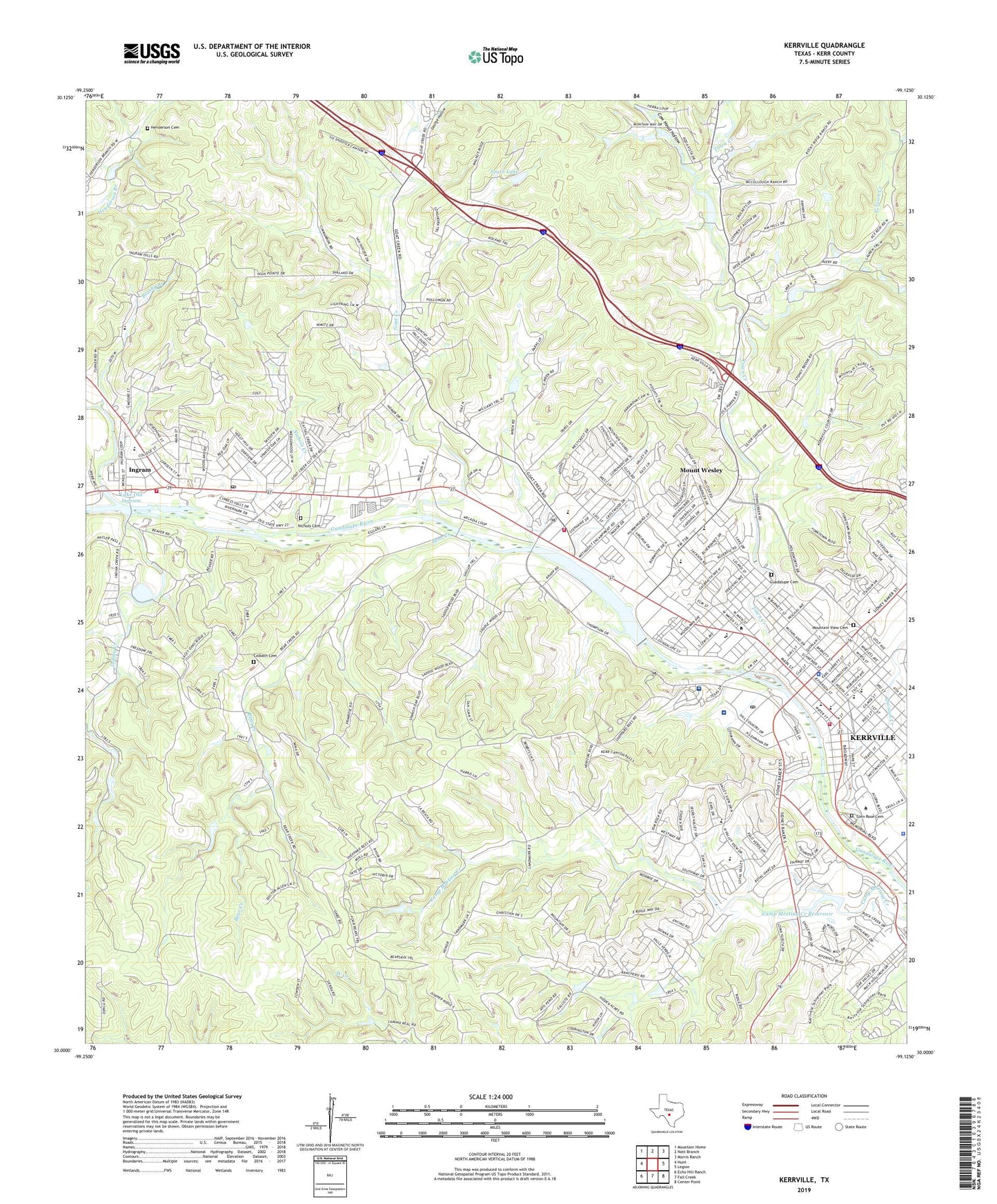
2022 topographic map quadrangle Kerrville in the state of Texas. Scale: 1:24000. Based on the newly updated USGS 7.5' US Topo map series, this map is in the following counties: Kerr. The map contains contour data, water features, and other items you are used to seeing on USGS maps, but also has updated roads and other features. This is the next generation of topographic maps. Printed on high-quality waterproof paper with UV fade-resistant inks.
Quads adjacent to this one:
West: Hunt
Northwest: Mountain Home
North: Nott Branch
Northeast: Morris Ranch
East: Legion
Southeast: Center Point
South: Fall Creek
Southwest: Echo Hill Ranch
This map covers the same area as the classic USGS quad with code o30099a2.
Contains the following named places: Air - Evac Lifeteam Kerrville, Bear Creek, Brushy Branch, Camp Meeting Creek Dam, Camp Meeting Creek Reservoir, Camp Pearl Wheat, Captain Charles Schreiner Mansion, Carver Park, Church of Christ Junction Highway, City of Ingram, City of Kerrville, Colbarth Springs, Colbath Cemetery, Cow Head Hollow, Cowboy Artists of America Museum, Crossroads Baptist Church, Doyle School, East Town Creek, George Hollow, Glen Rest Cemetery, Goat Creek, Goat Springs, Guadalupe Cemetery, Henderson Cemetery, Hill Top Village Home, Holy Cross Lutheran Church, Holy Cross School, Indian Creek, Indian Creek Camp, Ingram, Ingram - Tom Moore High School, Ingram City Hall, Ingram City Marshal's Office, Ingram Elementary School, Ingram Middle School, Ingram Post Office, Ingram Volunteer Fire Department, Johnson Creek, Kerr County Constable's Office, Kerr County Constable's Office Precinct 2, Kerr County Constable's Office Precinct 3, Kerr County Constable's Office Precinct 4, Kerr County Courthouse, Kerr County Jail, Kerr County Sheriff's Office, Kerrville, Kerrville City Hall, Kerrville Fire Department Station 1, Kerrville Fire Department Station 2, Kerrville Mentoring and Learning Center, Kerrville Police Department, Kerrville Ponding Dam, Kerrville Ponding Lake, Kerrville Post Office, Kerrville State Hospital, Kerrville State Park, KERV-AM (Kerrville), KITE-FM (Kerrville), KRVL-FM (Kerrville), Lake Old Ingram, Lions Park, Louise Hays Park, Masonic Building, Mount Wesley, Mountain View Cemetery, Nichols Cemetery, Nichols Creek, Nimitz Elementary School, Notre Dame School, Peterson Middle School, Peterson Regional Medical Center, Quinlan Creek, Richard Park, Riverside Nature Center, Saint Paul Church, Schreiner University, Schultz Park, South Dam, South Lake, Starkey Elementary School, Starkey School, Sunrise Baptist Church, Texas Department of Public Safety Highway Patrol Office, Texas Parks and Wildlife Department Law Enforcement Division, Tivy High School, Tivy Upper Elementary School, Town Creek, Town Creek Dam Number 4, Town Creek Reservoir Number 4, Trinity Church, Tulahteka Mansion, West Goat Creek, ZIP Code: 78028


