MyTopo
Chapin Texas US Topo Map
Couldn't load pickup availability
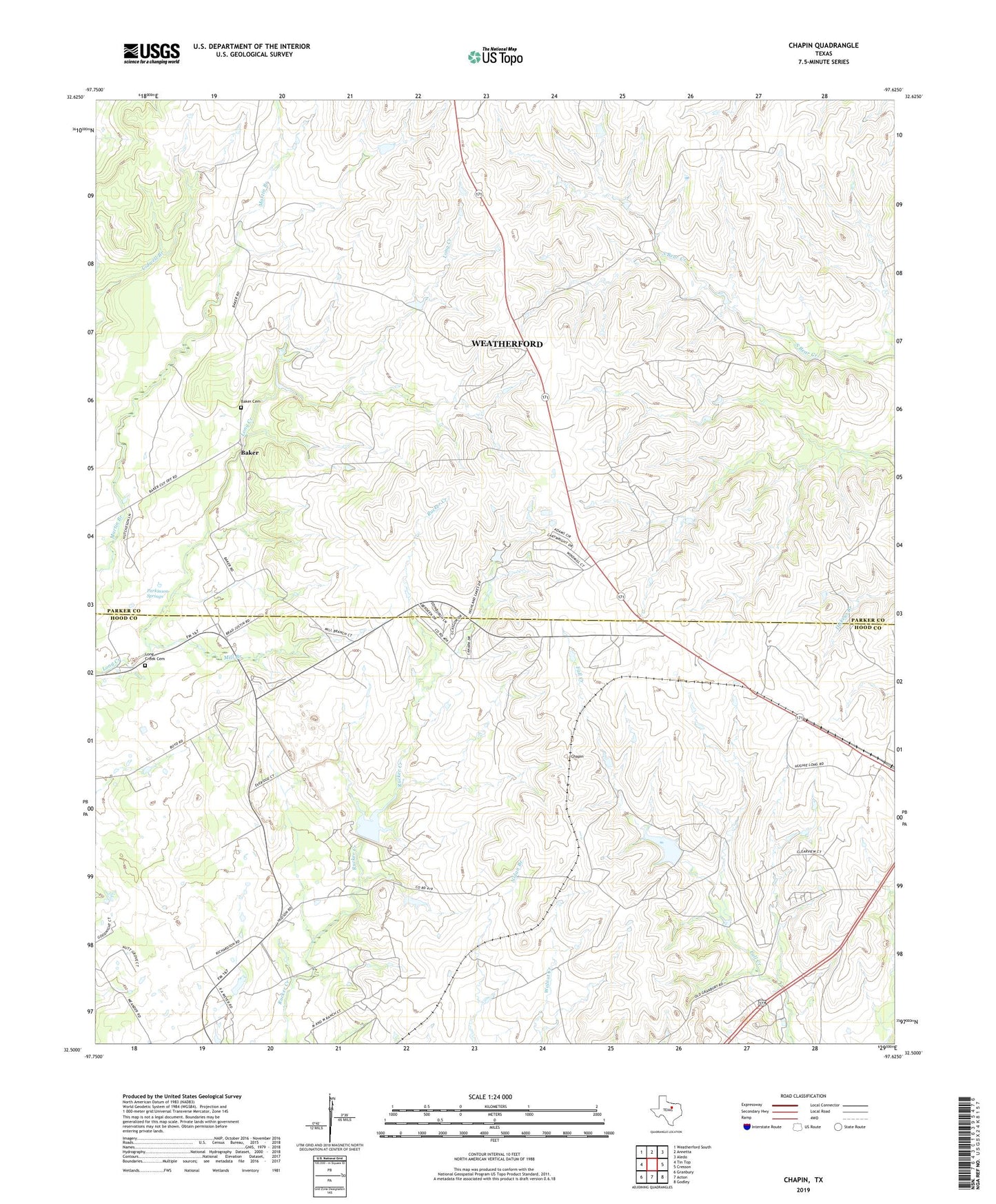
2019 topographic map quadrangle Chapin in the state of Texas. Scale: 1:24000. Based on the newly updated USGS 7.5' US Topo map series, this map is in the following counties: Parker, Hood. The map contains contour data, water features, and other items you are used to seeing on USGS maps, but also has updated roads and other features. This is the next generation of topographic maps. Printed on high-quality waterproof paper with UV fade-resistant inks.
Quads adjacent to this one:
West: Tin Top
Northwest: Weatherford South
North: Annetta
Northeast: Aledo
East: Cresson
Southeast: Godley
South: Acton
Southwest: Granbury
Contains the following named places: Baker, Baker Baptist Church, Baker Cemetery, Chapin, Cresson Ranch, Double L Ranch, Long Creek Cemetery, Mill Branch, Parkinson Springs, Smelley Lake, Smelley Lake Dam, Soil Conservation Service Site 1 Dam, Soil Conservation Service Site 1 Reservoir, ZIP Code: 76035