MyTopo
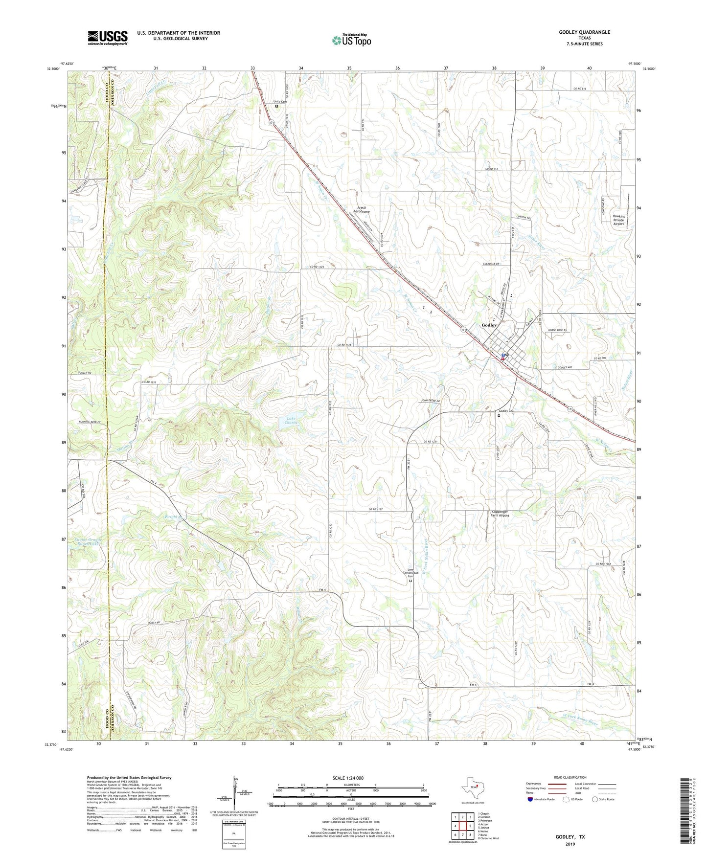
Godley Texas US Topo Map
Couldn't load pickup availability
2022 topographic map quadrangle Godley in the state of Texas. Scale: 1:24000. Based on the newly updated USGS 7.5' US Topo map series, this map is in the following counties: Johnson, Hood. The map contains contour data, water features, and other items you are used to seeing on USGS maps, but also has updated roads and other features. This is the next generation of topographic maps. Printed on high-quality waterproof paper with UV fade-resistant inks.
Quads adjacent to this one:
West: Acton
Northwest: Chapin
North: Cresson
Northeast: Primrose
East: Joshua
Southeast: Cleburne West
South: Bono
Southwest: Nemo
This map covers the same area as the classic USGS quad with code o32097d5.
Contains the following named places: Aresti Aerodrome, Bethel Baptist Church, City of Godley, Coppenger Farm Airport, Godley, Godley Cemetery, Godley City Hall, Godley Division, Godley Elementary School, Godley Fire Department, Godley High School, Godley Middle School, Godley Police Department, Godley Post Office, Hawkins Private Airport, Lake Charca, Lake Charca Dam, Little Fall Creek, Lone Cottonwood Cemetery, Unity Cemetery, ZIP Code: 76044