MyTopo
Clegg NE Texas US Topo Map
Couldn't load pickup availability
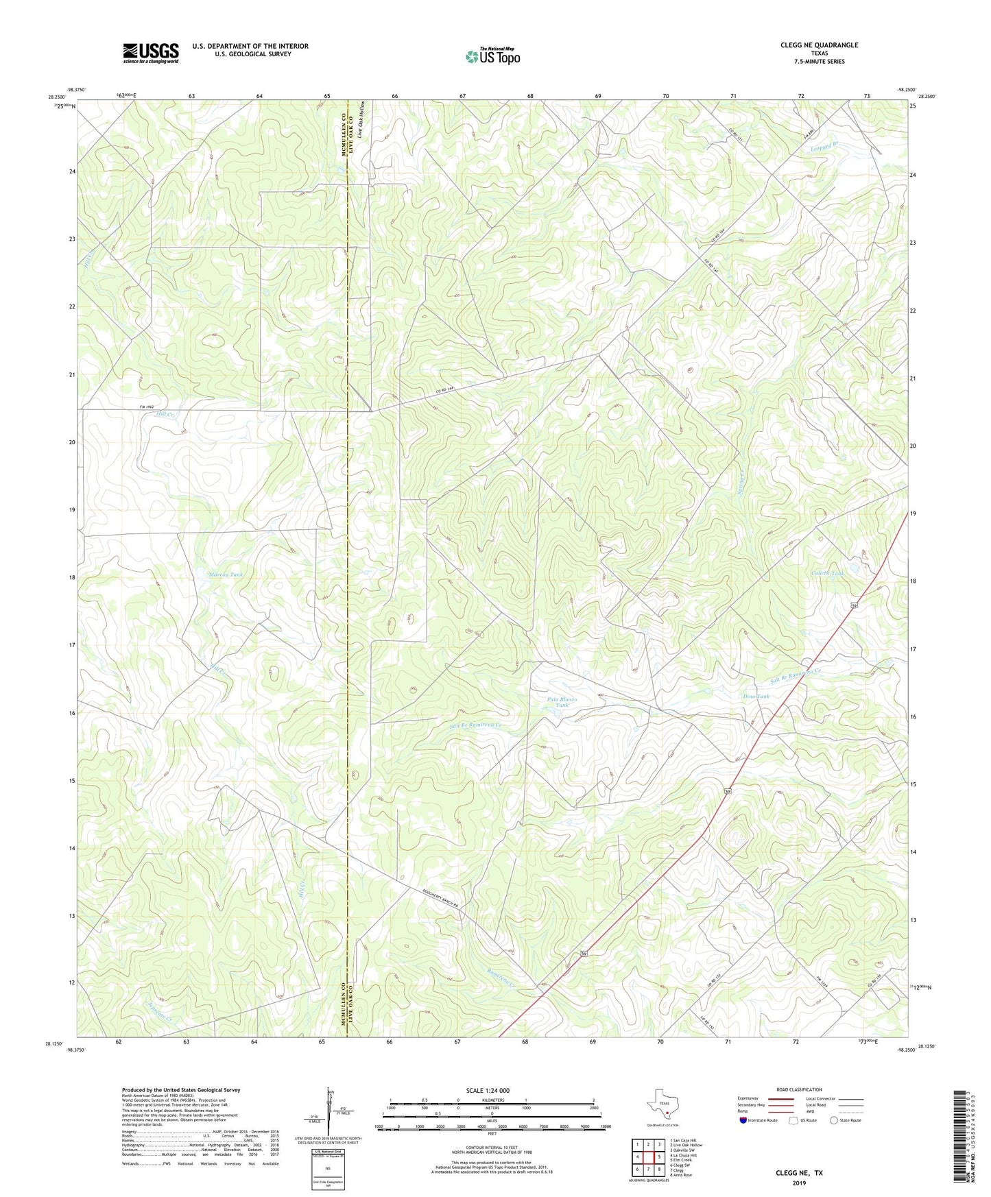
2022 topographic map quadrangle Clegg NE in the state of Texas. Scale: 1:24000. Based on the newly updated USGS 7.5' US Topo map series, this map is in the following counties: Live Oak, McMullen. The map contains contour data, water features, and other items you are used to seeing on USGS maps, but also has updated roads and other features. This is the next generation of topographic maps. Printed on high-quality waterproof paper with UV fade-resistant inks.
Quads adjacent to this one:
West: La Chusa Hill
Northwest: San Caja Hill
North: Live Oak Hollow
Northeast: Oakville SW
East: Elm Creek
Southeast: Anna Rose
South: Clegg
Southwest: Clegg SW
This map covers the same area as the classic USGS quad with code o28098b3.
Contains the following named places: Aqua Sola Windmill, Aqua Verde Windmill, Caliche Tank, Coma Well, Crystal Windmill, Daugherty Ranch, Debisadero Windmill, Dino Tank, Green Pump Well, Iley Ranch, Jaboncillo Windmill, Jack West Windmill, Jediondo Windmill, Lease Windmill, Little Well, Lyne Ranch, Marcou Tank, Marcou Windmill, Morris Windmill, Muerto Windmill, Nichols Windmill, Nine Hundred Windmill, Palo Blanco Tank, Piggly Wiggly Windmill, Preza Windmill, Salado Windmill, Salt Well