MyTopo
Comanche Waterhole Texas US Topo Map
Couldn't load pickup availability
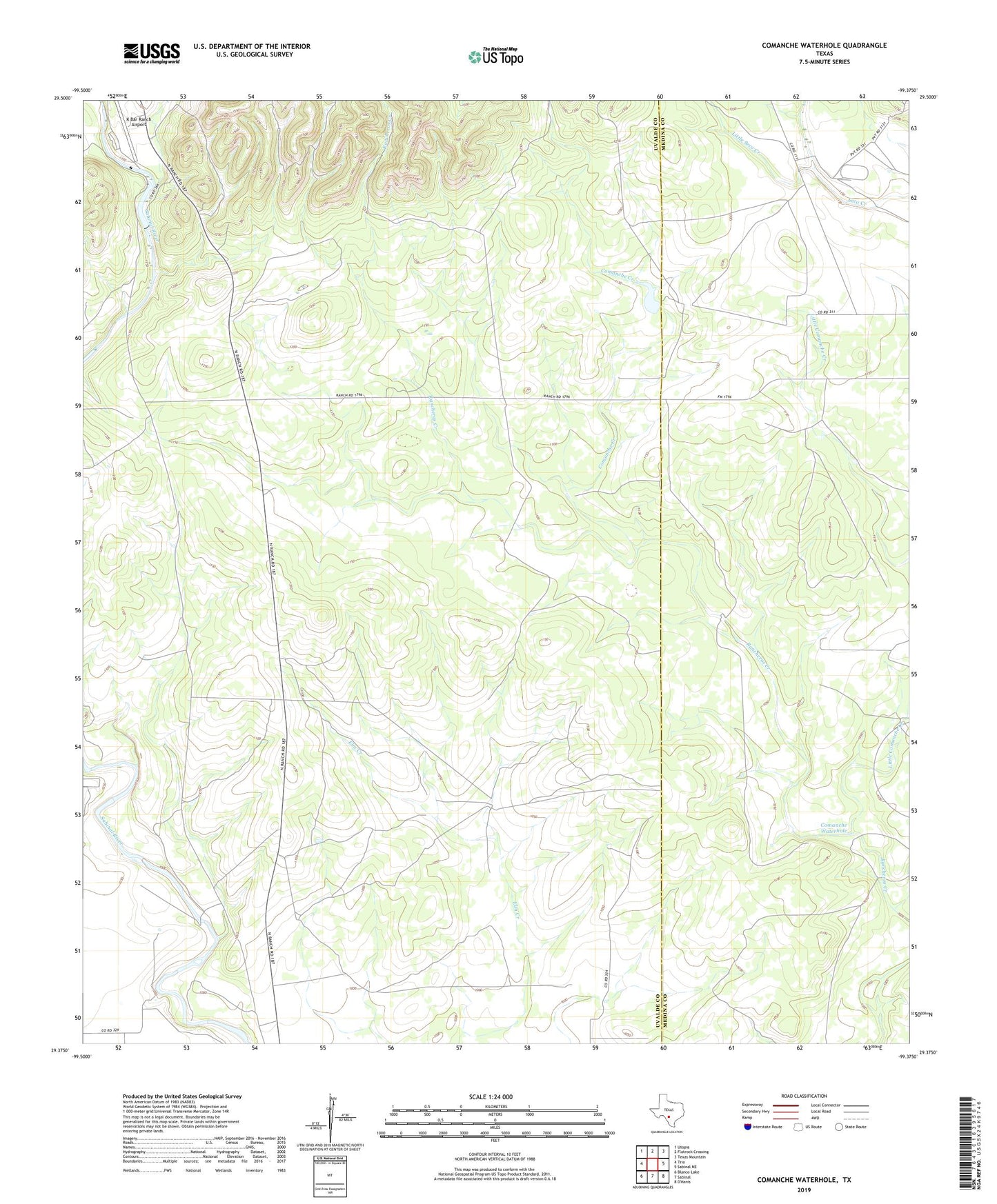
2022 topographic map quadrangle Comanche Waterhole in the state of Texas. Scale: 1:24000. Based on the newly updated USGS 7.5' US Topo map series, this map is in the following counties: Uvalde, Medina. The map contains contour data, water features, and other items you are used to seeing on USGS maps, but also has updated roads and other features. This is the next generation of topographic maps. Printed on high-quality waterproof paper with UV fade-resistant inks.
Quads adjacent to this one:
West: Trio
Northwest: Utopia
North: Flatrock Crossing
Northeast: Texas Mountain
East: Sabinal NE
South: Sabinal
Southwest: Blanco Lake
This map covers the same area as the classic USGS quad with code o29099d4.
Contains the following named places: Callahan County Library, Comanche Creek, Comanche Waterhole, K Bar Ranch, K Bar Ranch Airport, K-Bar Ranch Lake, K-Bar Ranch Lake Dam, Little Comanche Creek, Little Seco Creek, Soil Conservation Service Site 11 Dam, Soil Conservation Service Site 11 Reservoir, Valdina Farms, Valdina Farms Dam, Valdina Farms Tank