MyTopo
Concordia Texas US Topo Map
Couldn't load pickup availability
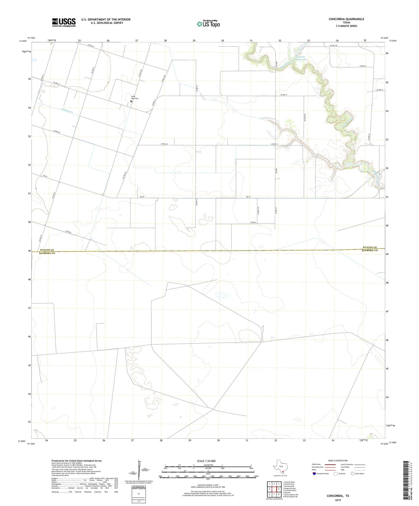
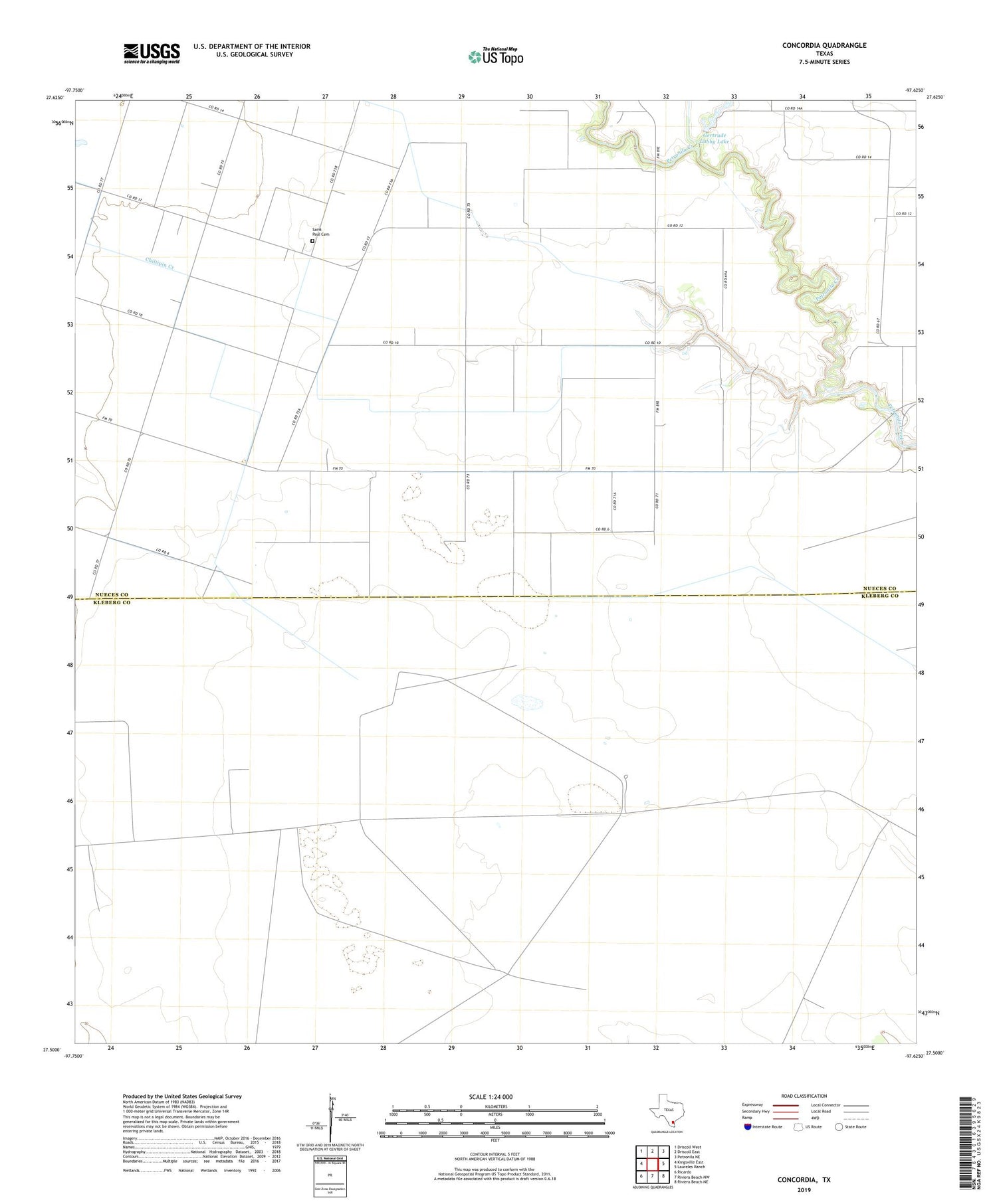
2019 topographic map quadrangle Concordia in the state of Texas. Scale: 1:24000. Based on the newly updated USGS 7.5' US Topo map series, this map is in the following counties: Nueces, Kleberg. The map contains contour data, water features, and other items you are used to seeing on USGS maps, but also has updated roads and other features. This is the next generation of topographic maps. Printed on high-quality waterproof paper with UV fade-resistant inks.
Quads adjacent to this one:
West: Kingsville East
Northwest: Driscoll West
North: Driscoll East
Northeast: Petronila NE
East: Laureles Ranch
Southeast: Riviera Beach NE
South: Riviera Beach NW
Southwest: Ricardo
Contains the following named places: Algivares Windmill, Concordia, Gertrude Lubby Lake, Gertrude Lubby Lake Dam, Mota Redonda Windmill, Nine Windmill, Noria Bee Windmill, Noria Honda Windmill, Palacios Windmill, Palma Windmill, Saint Paul Cemetery, Taza Windmill