MyTopo
Crabbs Prairie Texas US Topo Map
Couldn't load pickup availability
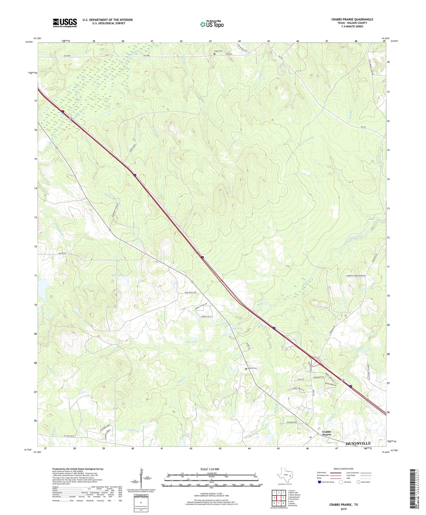
2022 topographic map quadrangle Crabbs Prairie in the state of Texas. Scale: 1:24000. Based on the newly updated USGS 7.5' US Topo map series, this map is in the following counties: Walker. The map contains contour data, water features, and other items you are used to seeing on USGS maps, but also has updated roads and other features. This is the next generation of topographic maps. Printed on high-quality waterproof paper with UV fade-resistant inks.
Quads adjacent to this one:
West: Steep Branch
Northwest: Connor
North: Baker Lake
Northeast: Wyser Bottom
East: Pine Prairie
Southeast: Huntsville
South: Galilee
Southwest: Loma
This map covers the same area as the classic USGS quad with code o30095g6.
Contains the following named places: Cook Lake, Cook Lake Dam, Cook Spring Church, Crabbs Prairie, Crabbs Prairie Volunteer Fire Department, Fails Lake, Fails Lake Dam, Fails Lookout Tower, Falba Cemetery, Guerrant-Adams Company Lake, Guerrant-Adams Company Lake Dam, Gum Branch, Huntsville Memorial Hospital, Manning Branch, Park Lake, Park Lake Dam, Petree Cemetery, Pine Creek, Rocky Branch, Rose Lake, Rose Lake Dam, Sulphur Branch