MyTopo
Crawford Texas US Topo Map
Couldn't load pickup availability
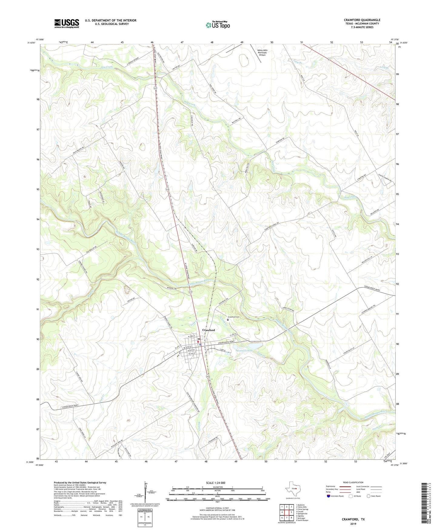
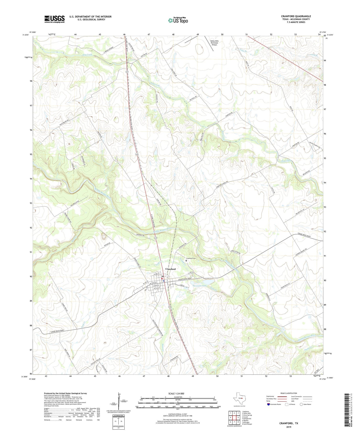
2019 topographic map quadrangle Crawford in the state of Texas. Scale: 1:24000. Based on the newly updated USGS 7.5' US Topo map series, this map is in the following counties: McLennan. The map contains contour data, water features, and other items you are used to seeing on USGS maps, but also has updated roads and other features. This is the next generation of topographic maps. Printed on high-quality waterproof paper with UV fade-resistant inks.
Quads adjacent to this one:
West: Coryell
Northwest: Mosheim
North: Valley Mills
Northeast: China Springs
East: Speegleville
Southeast: South Bosque
South: McGregor
Southwest: Oglesby
Contains the following named places: Bluff Creek, Compton Church, Crawford, Crawford Cemetery, Crawford City Hall, Crawford Division, Crawford Police Department, Crawford Post Office, Crawford Volunteer Fire Department, Elm Creek, North Tonk Creek, Patton Church, Sycamore Hole, Tonk Creek, Tonkawa Park, Town of Crawford, Valley Mills Municipal Airport, Wasp Creek, ZIP Code: 76638