MyTopo
Deaton Draw Texas US Topo Map
Couldn't load pickup availability
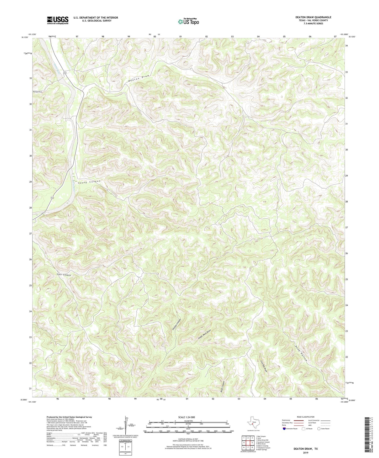
2019 topographic map quadrangle Deaton Draw in the state of Texas. Scale: 1:24000. Based on the newly updated USGS 7.5' US Topo map series, this map is in the following counties: Val Verde. The map contains contour data, water features, and other items you are used to seeing on USGS maps, but also has updated roads and other features. This is the next generation of topographic maps. Printed on high-quality waterproof paper with UV fade-resistant inks.
Quads adjacent to this one:
West: Sycamore Canyon
Northwest: Bee Canyon
North: Juno
Northeast: White Draw NW
East: White Draw
Southeast: Dolan Springs
South: Telephone Canyon
Southwest: Bakers Crossing
Contains the following named places: Big Well, Brown Ranch Windmill, Cedar Mott Draw, Chicken Ranch Windmills, Deaton Draw, Deaton Well, Phillips Draw, Robert Cauthorn Ranch, Star Windmill, Virgil Cauthorn Ranch, Young Canyon