MyTopo
Dolan Springs Texas US Topo Map
Couldn't load pickup availability
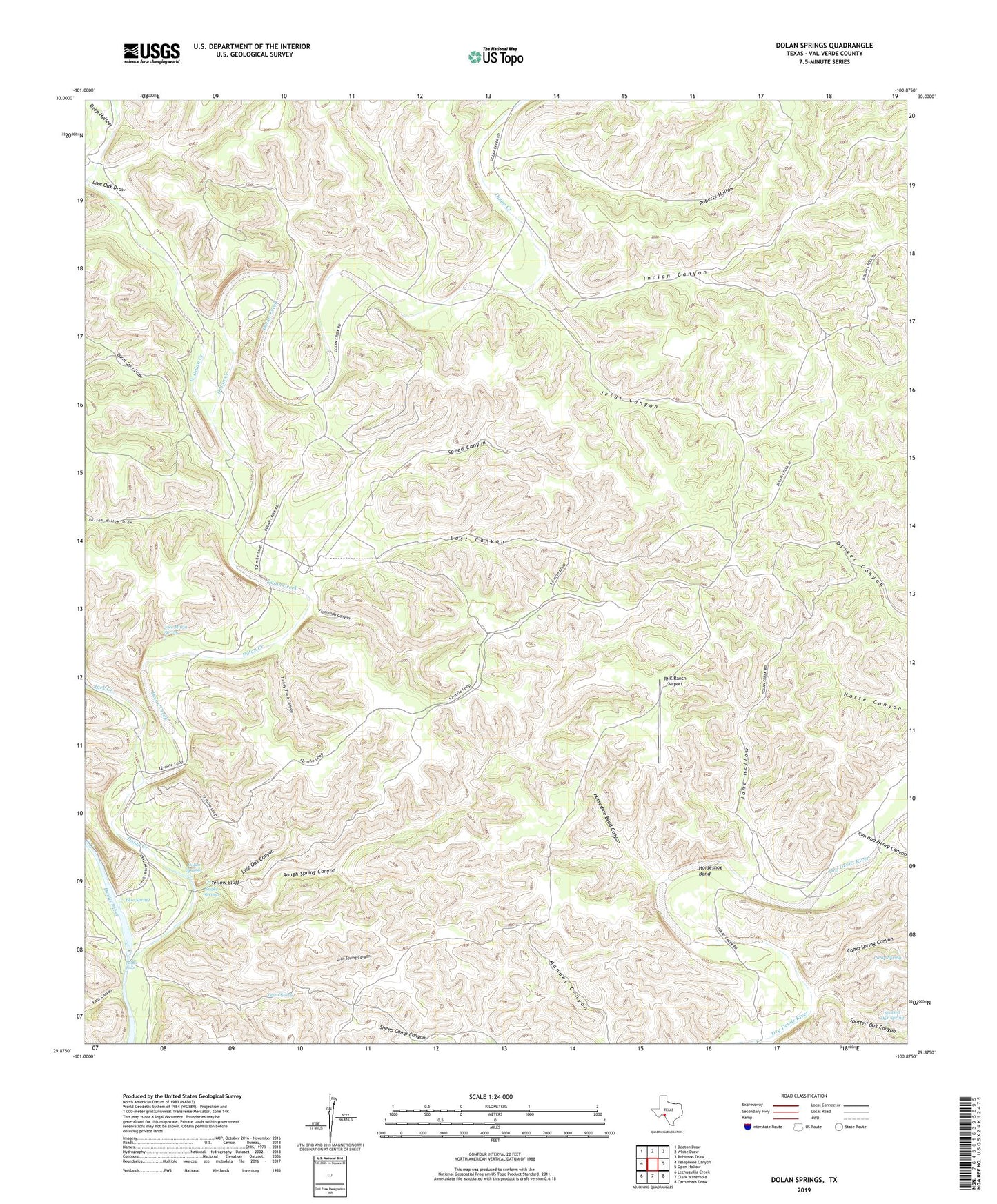
2022 topographic map quadrangle Dolan Springs in the state of Texas. Scale: 1:24000. Based on the newly updated USGS 7.5' US Topo map series, this map is in the following counties: Val Verde. The map contains contour data, water features, and other items you are used to seeing on USGS maps, but also has updated roads and other features. This is the next generation of topographic maps. Printed on high-quality waterproof paper with UV fade-resistant inks.
Quads adjacent to this one:
West: Telephone Canyon
Northwest: Deaton Draw
North: White Draw
Northeast: Robinson Draw
East: Open Hollow
Southeast: Carruthers Draw
South: Clark Waterhole
Southwest: Lechuguilla Creek
This map covers the same area as the classic USGS quad with code o29100h8.
Contains the following named places: Blue Spring, Bucktrap Well, Burnt Spot Draw, Button Willow Draw, Camp Spring, Camp Spring Canyon, Deep Hollow, Del Rio Northeast Division, Devils River State Natural Area, Dolan Creek, Dolan Falls, Dolan Springs, East Canyon, Escondido Canyon, Falls Canyon, Horseshoe Bend, Horseshoe Bend Canyon, Indian Canyon, Jack Creek, Jane Hollow, Jesus Canyon, Jose Maria Spring, Leon Spring, Leon Spring Canyon, Live Oak Canyon, Live Oak Draw, RNK Ranch Airport, Roberts Hollow, Rough Spring Canyon, Snake Springs, Speed Canyon, Spotted Oak Canyon, Spotted Oak Spring, Tom and Henry Canyon, Turkey Track Canyon, West Dolan Creek, Yellow Bluff