MyTopo
Diboll Texas US Topo Map
Couldn't load pickup availability
Also explore the Diboll Forest Service Topo of this same quad for updated USFS data
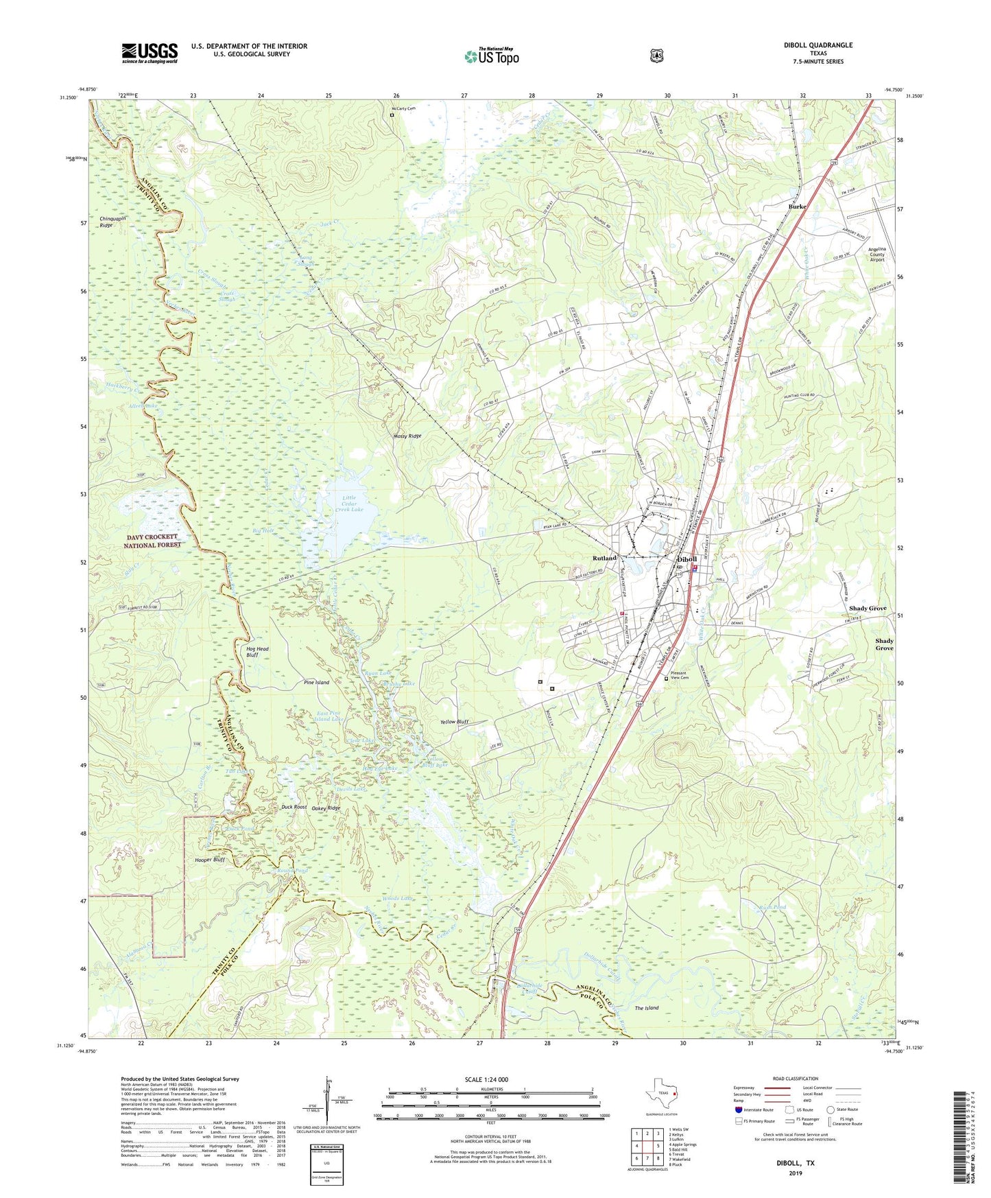
2022 topographic map quadrangle Diboll in the state of Texas. Scale: 1:24000. Based on the newly updated USGS 7.5' US Topo map series, this map is in the following counties: Angelina, Trinity, Polk. The map contains contour data, water features, and other items you are used to seeing on USGS maps, but also has updated roads and other features. This is the next generation of topographic maps. Printed on high-quality waterproof paper with UV fade-resistant inks.
Quads adjacent to this one:
West: Apple Springs
Northwest: Wells SW
North: Keltys
Northeast: Lufkin
East: Bald Hill
Southeast: Pluck
South: Wakefield
Southwest: Trevat
This map covers the same area as the classic USGS quad with code o31094b7.
Contains the following named places: Alabama Creek, Allred Lake, Angelina County Airport, Angelina County Constable's Office Precinct 4, Big Hole, Brushy Lake, Burke, Carlton Branch, Cedar Creek, Chinquapin Ridge, City of Burke, City of Diboll, Clarks Ferry, Clear Lake, Cross Slough, Devils Lake, Diboll, Diboll City Hall, Diboll Junior High School, Diboll Police Department, Diboll Post Office, Diboll Primary School, Diboll Volunteer Fire Department Station 1, Diboll Volunteer Fire Department Substation, Dry Lake, Duck Pond, Duck Roost, East Pine Island Lake, Fiberboard Lake, Fiberboard Lake Dam, Hackberry Creek, Henry G Temple House, Hog Eye Lake, Hog Head Bluff, Holly Bluff Campground, Hooper Bluff, Jack Creek, KDFX-AM (Diboll), KSPL Radio Tower (Huntsville), Little Cedar Creek, Little Cedar Creek Lake, Long Slough, McCarty Cemetery, Mossy Ridge, Oakey Ridge, Pine Island, Pine Valley, Pleasant View Cemetery, Renova, Round Pond, Rush Pond, Rutland, Ryan Chapel, Ryan Lake, Sandy Creek, Shady Grove, Slay Creek, Temple Eastex Heliport, Temple Elementary School, Texas Department of Criminal Justice Diboll Correctional Center, Texas Department of Criminal Justice Rufus H Duncan Geriatric Facility, The Sucks, Tub Lake, Walter Allen Park, Whispering Pines Park, White Oak Creek, Woods Lake, Yellow Bluff, Yellow Bluff Lake, ZIP Code: 75941


