MyTopo
Dull Texas US Topo Map
Couldn't load pickup availability
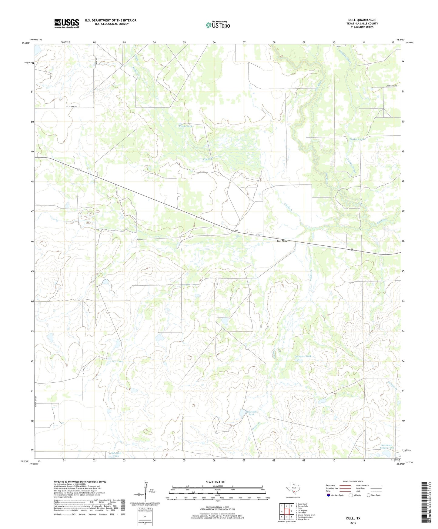
2022 topographic map quadrangle Dull in the state of Texas. Scale: 1:24000. Based on the newly updated USGS 7.5' US Topo map series, this map is in the following counties: La Salle. The map contains contour data, water features, and other items you are used to seeing on USGS maps, but also has updated roads and other features. This is the next generation of topographic maps. Printed on high-quality waterproof paper with UV fade-resistant inks.
Quads adjacent to this one:
West: Los Angeles
Northwest: Burns Ranch
North: Cayman Lake
Northeast: Zella
East: Fowlerton
Southeast: Briscoe Ranch
South: The White Kitchen
Southwest: Charco Marrano Creek
This map covers the same area as the classic USGS quad with code o28098d8.
Contains the following named places: Cayman Slough, Cibolo Creek, Cibolo Tank, Donnell Lake Dam, Dull, Dull Flats, Kenley Lake Dam, McGraw Lake, Nogate Creek, Northeast Yeager Tank, Quintana Tank, Rock Hill Tank, TCU Tank, Yeager Creek