MyTopo
Elkhart Creek Texas US Topo Map
Couldn't load pickup availability
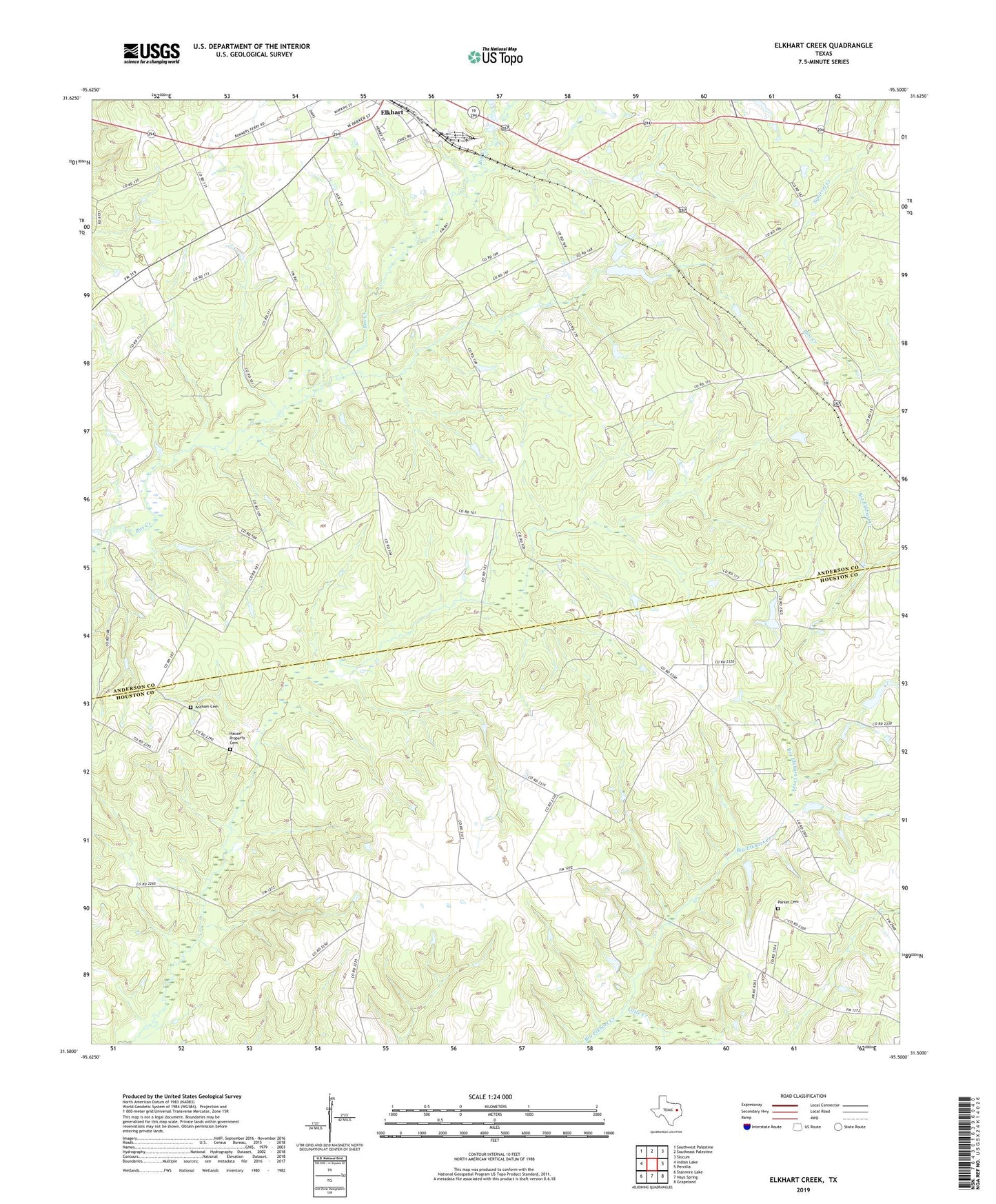
2022 topographic map quadrangle Elkhart Creek in the state of Texas. Scale: 1:24000. Based on the newly updated USGS 7.5' US Topo map series, this map is in the following counties: Anderson, Houston. The map contains contour data, water features, and other items you are used to seeing on USGS maps, but also has updated roads and other features. This is the next generation of topographic maps. Printed on high-quality waterproof paper with UV fade-resistant inks.
Quads adjacent to this one:
West: Indian Lake
Northwest: Southwest Palestine
North: Southeast Palestine
Northeast: Slocum
East: Percilla
Southeast: Grapeland
South: Hays Spring
Southwest: Stanmire Lake
This map covers the same area as the classic USGS quad with code o31095e5.
Contains the following named places: Anderson County Constable's Office Precinct 1, Anthom Cemetery, Elkhart City Hall, Elkhart City Marshal, Elkhart Creek Springs, Elkhart Division, Hauser Property Cemetery, Little Creek, New Prospect Church, Oak Grove Church, Parker Cemetery, Pilgrim Church, Rocky Mound Church, Salmon Church, ZIP Code: 75839