MyTopo
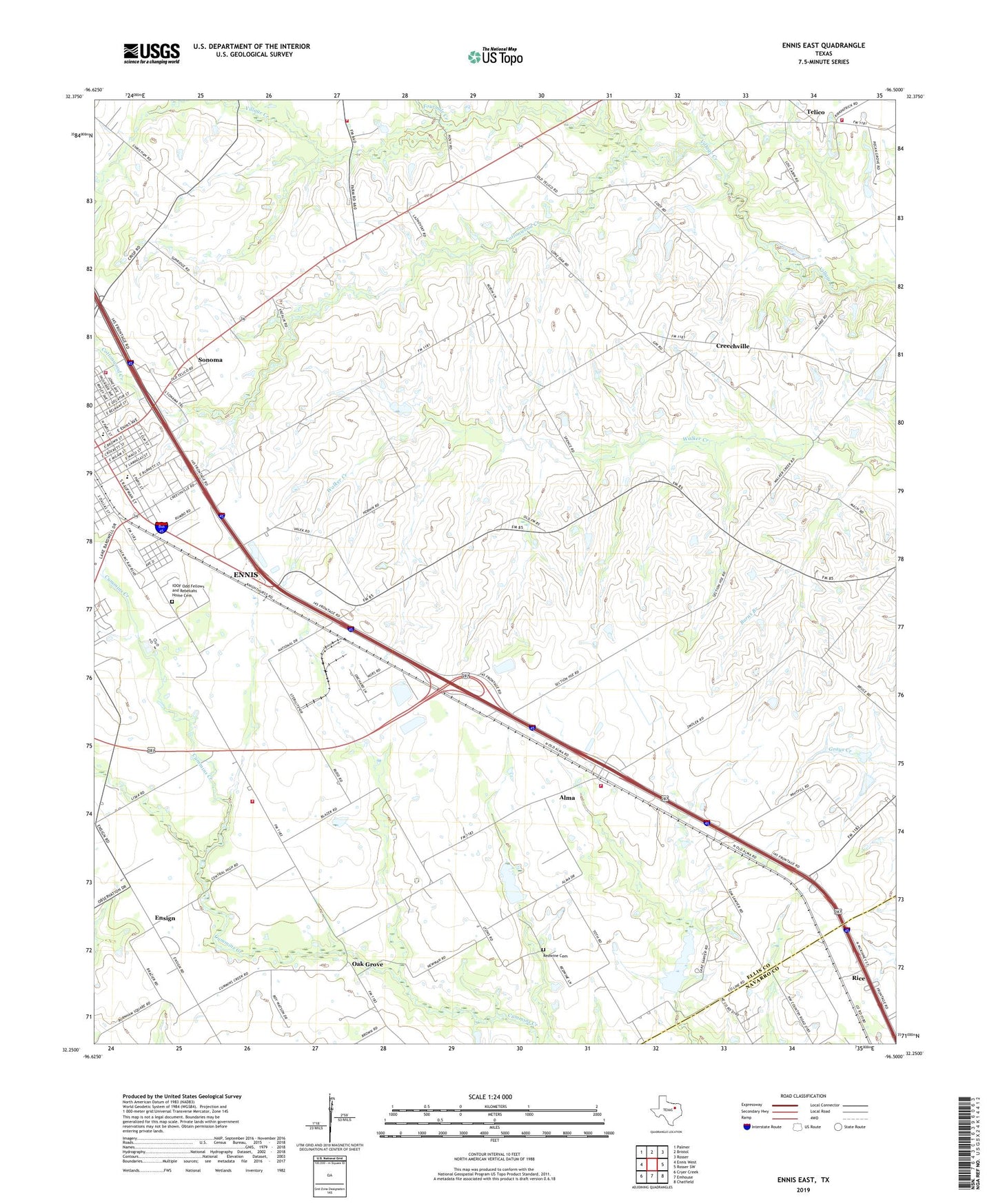
Ennis East Texas US Topo Map
Couldn't load pickup availability
2022 topographic map quadrangle Ennis East in the state of Texas. Scale: 1:24000. Based on the newly updated USGS 7.5' US Topo map series, this map is in the following counties: Ellis, Navarro. The map contains contour data, water features, and other items you are used to seeing on USGS maps, but also has updated roads and other features. This is the next generation of topographic maps. Printed on high-quality waterproof paper with UV fade-resistant inks.
Quads adjacent to this one:
West: Ennis West
Northwest: Palmer
North: Bristol
Northeast: Rosser
East: Rosser SW
Southeast: Chatfield
South: Emhouse
Southwest: Cryer Creek
This map covers the same area as the classic USGS quad with code o32096c5.
Contains the following named places: Alamo School, Alma, Alma Volunteer Fire Department, Bethel Pentecostal Church, Bethlehem Missionary Baptist Church, Burns Branch, Central High Rural Volunteer Fire Department, Central High School, Church of Christ Ennis, Collins Chapel Church, Colmesneil Church, Cottonwood Creek, Creechville, Ellis County Constable's Office Precinct 1, Ennis Cotton Compress, Ennis Cotton Oil Company, Ennis Division, Ennis Fire Department Station 2, Ennis Railroad and Cultural Heritage Museum, Ensign, Fairview Park, Farrar House, Fourmile Creek, Garrett Area Rural Volunteer Fire Department Substation, Gillespie Farm, Grace Temple Baptist Church, Hosely Chapel Methodist Church, IOOF Odd Fellows and Rebekahs Home Cemetery, J B Moorhead House, Lummus Memorial Park, Moravian Church, New Hope Baptist Church, Oak Grove, Old Fellows and Rebekahs Home, Redwine Cemetery, Roger Maise Park, Saint Johns Catholic Church, Saint Johns School, Soil Conservation Service Site 125 Dam, Soil Conservation Service Site 125 Reservoir, Soil Conservation Service Site 126 Dam, Soil Conservation Service Site 126 Reservoir, Sonoma, Telico, Telico Church, Telico Volunteer Fire Department, Town of Alma, Travis Elementary School, Travis School, ZIP Code: 75119


