MyTopo
Eskota Texas US Topo Map
Couldn't load pickup availability
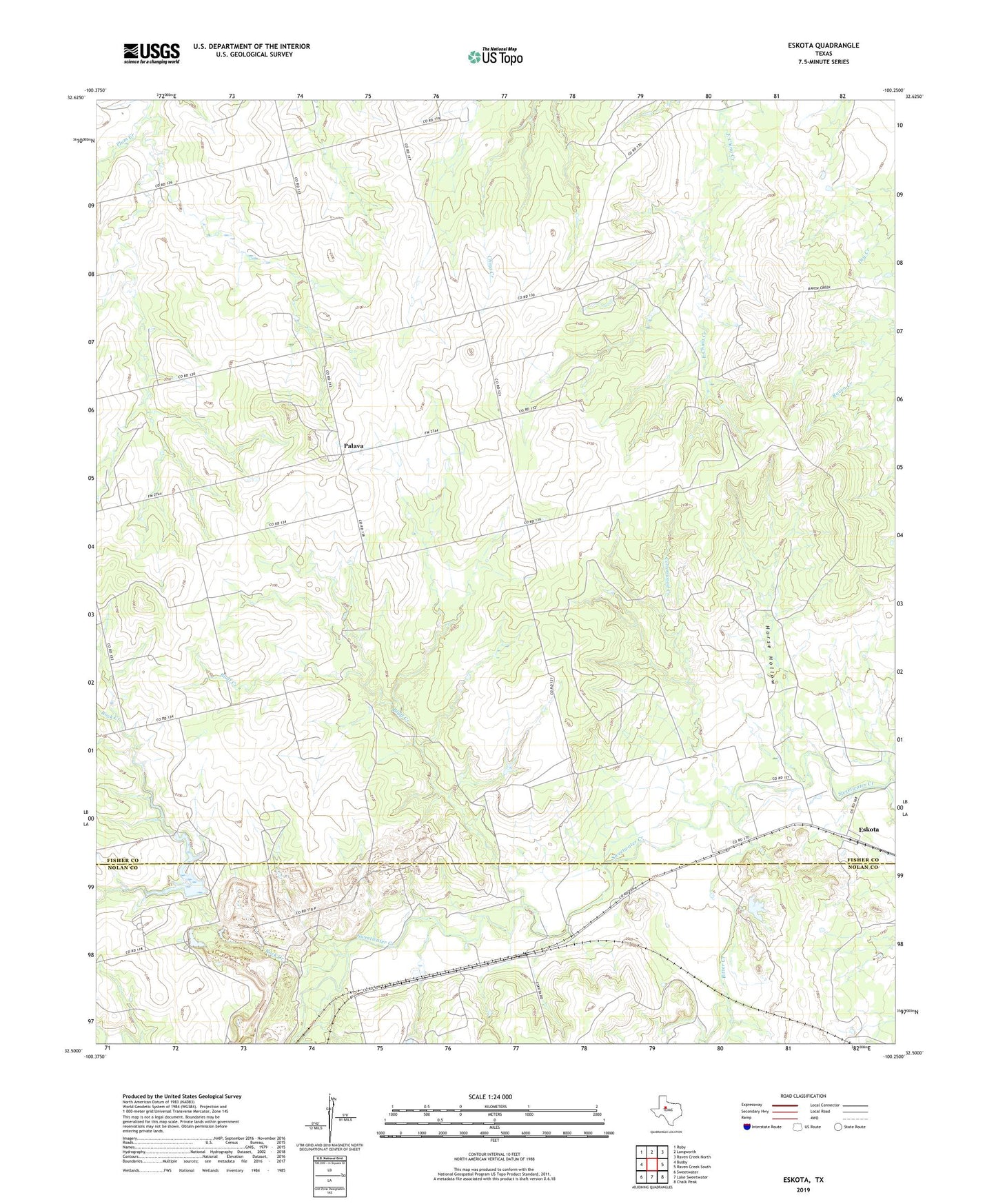
2022 topographic map quadrangle Eskota in the state of Texas. Scale: 1:24000. Based on the newly updated USGS 7.5' US Topo map series, this map is in the following counties: Fisher, Nolan. The map contains contour data, water features, and other items you are used to seeing on USGS maps, but also has updated roads and other features. This is the next generation of topographic maps. Printed on high-quality waterproof paper with UV fade-resistant inks.
Quads adjacent to this one:
West: Busby
Northwest: Roby
North: Longworth
Northeast: Raven Creek North
East: Raven Creek South
Southeast: Chalk Peak
South: Lake Sweetwater
Southwest: Sweetwater
This map covers the same area as the classic USGS quad with code o32100e3.
Contains the following named places: Bitter Creek, Bluff Creek, Cottonwood Creek, Headrick Lake, Headrick Lake Dam, Horse Hollow, Newman Oil Field, Palava, Palava Cemetery, Plum Creek, Rock Creek, Tecific, Willow Tank