MyTopo
Longworth Texas US Topo Map
Couldn't load pickup availability
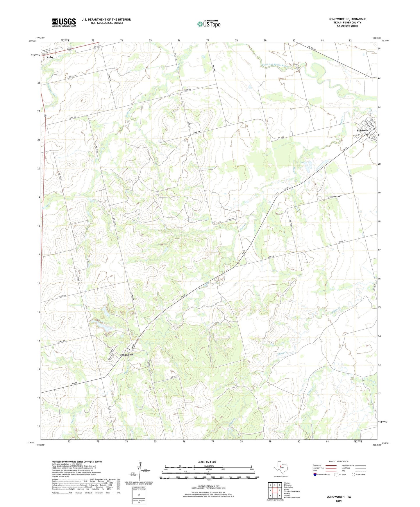
2022 topographic map quadrangle Longworth in the state of Texas. Scale: 1:24000. Based on the newly updated USGS 7.5' US Topo map series, this map is in the following counties: Fisher. The map contains contour data, water features, and other items you are used to seeing on USGS maps, but also has updated roads and other features. This is the next generation of topographic maps. Printed on high-quality waterproof paper with UV fade-resistant inks.
Quads adjacent to this one:
West: Roby
Northwest: Rotan
North: Royston
Northeast: McCaulley
East: Raven Creek North
Southeast: Raven Creek South
South: Eskota
Southwest: Busby
This map covers the same area as the classic USGS quad with code o32100f3.
Contains the following named places: Longworth, Longworth Cemetery, Plum Creek, Sylvester, Sylvester Cemetery, Sylvester Census Designated Place, Sylvester Post Office