MyTopo
Grapeland Texas US Topo Map
Couldn't load pickup availability
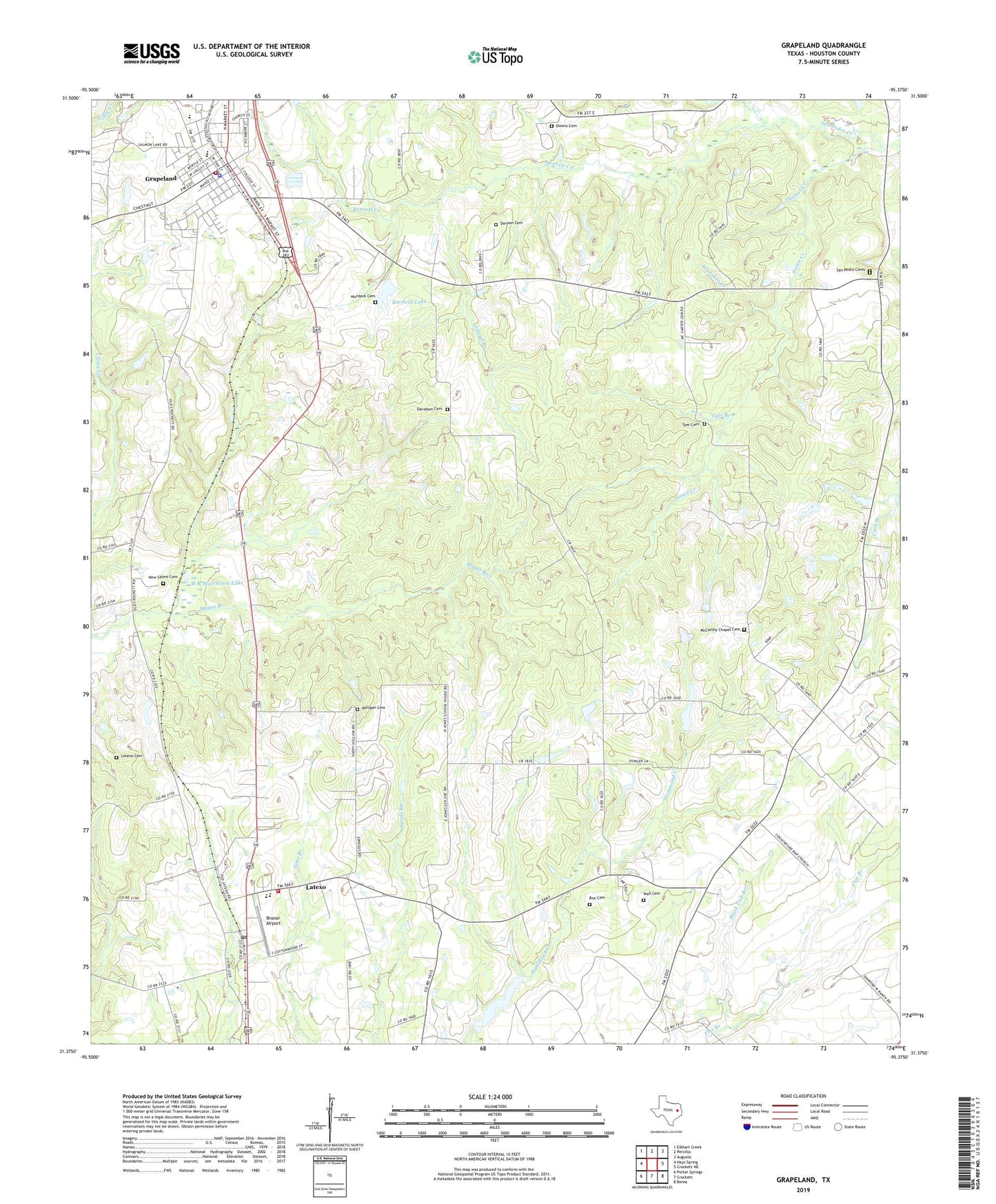
2019 topographic map quadrangle Grapeland in the state of Texas. Scale: 1:24000. Based on the newly updated USGS 7.5' US Topo map series, this map is in the following counties: Houston. The map contains contour data, water features, and other items you are used to seeing on USGS maps, but also has updated roads and other features. This is the next generation of topographic maps. Printed on high-quality waterproof paper with UV fade-resistant inks.
Quads adjacent to this one:
West: Hays Spring
Northwest: Elkhart Creek
North: Percilla
Northeast: Augusta
East: Crockett NE
Southeast: Berea
South: Crockett
Southwest: Porter Springs
Contains the following named places: Barfield Lake, Barfield Lake Dam, Bennett Creek, Bison Dam, Bison Lake, Black Lick Branch, Boiling Spring, Box Family Cemetery, Bruner Airport, City of Grapeland, City of Latexo, Davidson Cemetery, Denson Cemetery, El Caney, Ephesus Church, Grapeand Elementary School, Grapeland, Grapeland City Hall, Grapeland Division, Grapeland High School, Grapeland Police Department, Grapeland Post Office, Grapeland Volunteer Fire Department / Emergency Medical Services, Harold Goar Dam, Harold Goar Lake, Independent Church, Latexo, Latexo Cemetery, Latexo City Hall, Latexo Community Center, Latexo Post Office, Latexo School, Latexo Volunteer Fire Department, Lone Star Baptist Church, M R Murchison Dam, M R Murchison Lake, Mayes Branch, McCarthy Chapel Cemetery, McCarty Chapel, Milligan Cemetery, Murdock Cemetery, New Salem Cemetery, Oldham, Owens Cemetery, Philadelphia Church, San Pedro, San Pedro Cemetery, San Pedro Church, San Pedro Post Office, San Pedro School, Stowe Branch, Stowe Creek, Stroud Branch, Thomas Creek, Tyer Branch, Tyer Cemetery, Tyer Water Wheel, Union Chapel, Wall Cemetery, Whitaker Creek, ZIP Code: 75849