MyTopo
Hay Lake Texas US Topo Map
Couldn't load pickup availability
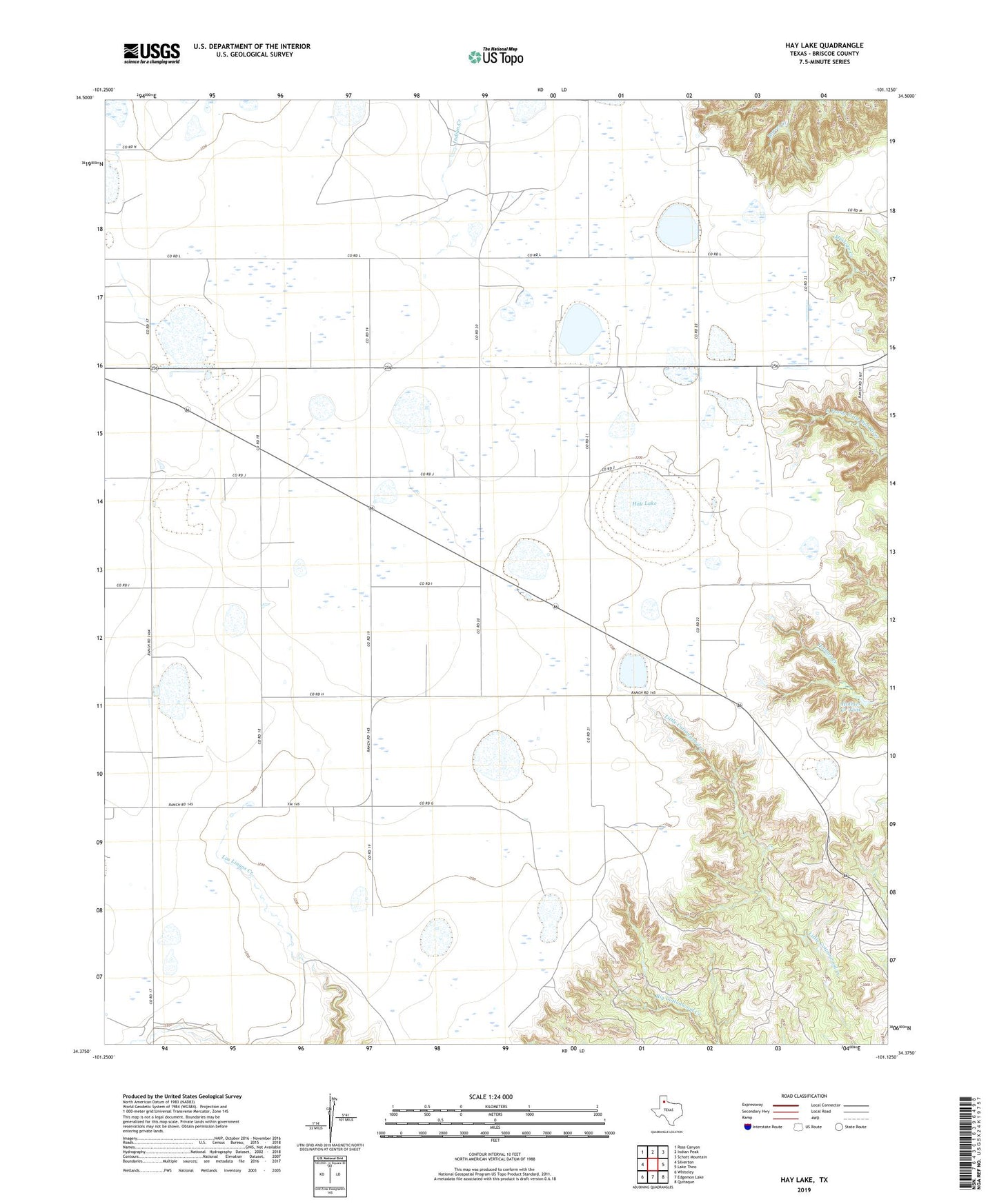
2022 topographic map quadrangle Hay Lake in the state of Texas. Scale: 1:24000. Based on the newly updated USGS 7.5' US Topo map series, this map is in the following counties: Briscoe. The map contains contour data, water features, and other items you are used to seeing on USGS maps, but also has updated roads and other features. This is the next generation of topographic maps. Printed on high-quality waterproof paper with UV fade-resistant inks.
Quads adjacent to this one:
West: Silverton
Northwest: Ross Canyon
North: Indian Peak
Northeast: Schott Mountain
East: Lake Theo
Southeast: Quitaque
South: Edgemon Lake
Southwest: Whiteley
This map covers the same area as the classic USGS quad with code o34101d2.
Contains the following named places: Caprock Station, Hay Lake, Haynes Scout Camp, Holmes Creek Tank