MyTopo
Indian Peak Texas US Topo Map
Couldn't load pickup availability
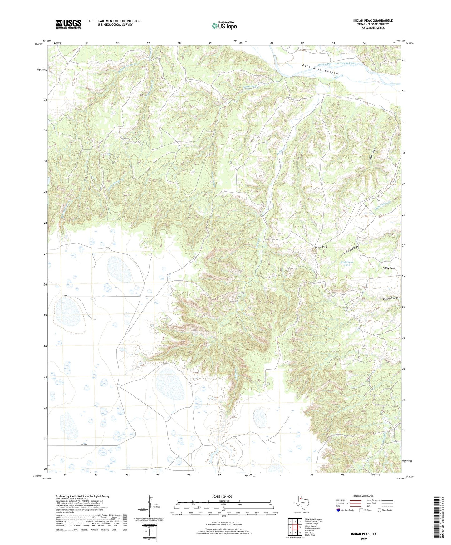
2022 topographic map quadrangle Indian Peak in the state of Texas. Scale: 1:24000. Based on the newly updated USGS 7.5' US Topo map series, this map is in the following counties: Briscoe. The map contains contour data, water features, and other items you are used to seeing on USGS maps, but also has updated roads and other features. This is the next generation of topographic maps. Printed on high-quality waterproof paper with UV fade-resistant inks.
Quads adjacent to this one:
West: Ross Canyon
Northwest: Big Betty Reservoir
North: Hardscrabble Creek
Northeast: Willow Arroyo
East: Schott Mountain
Southeast: Lake Theo
South: Hay Lake
Southwest: Silverton
This map covers the same area as the classic USGS quad with code o34101e2.
Contains the following named places: Briscoe County, Comanche Creek, East Fork Dinner Creek, Folley Park, Indian Creek, Indian Peak, Johnson Canyon, Sand Creek, West Fork Dinner Creek, Wild Horse Tank