MyTopo
Herring Ranch Texas US Topo Map
Couldn't load pickup availability
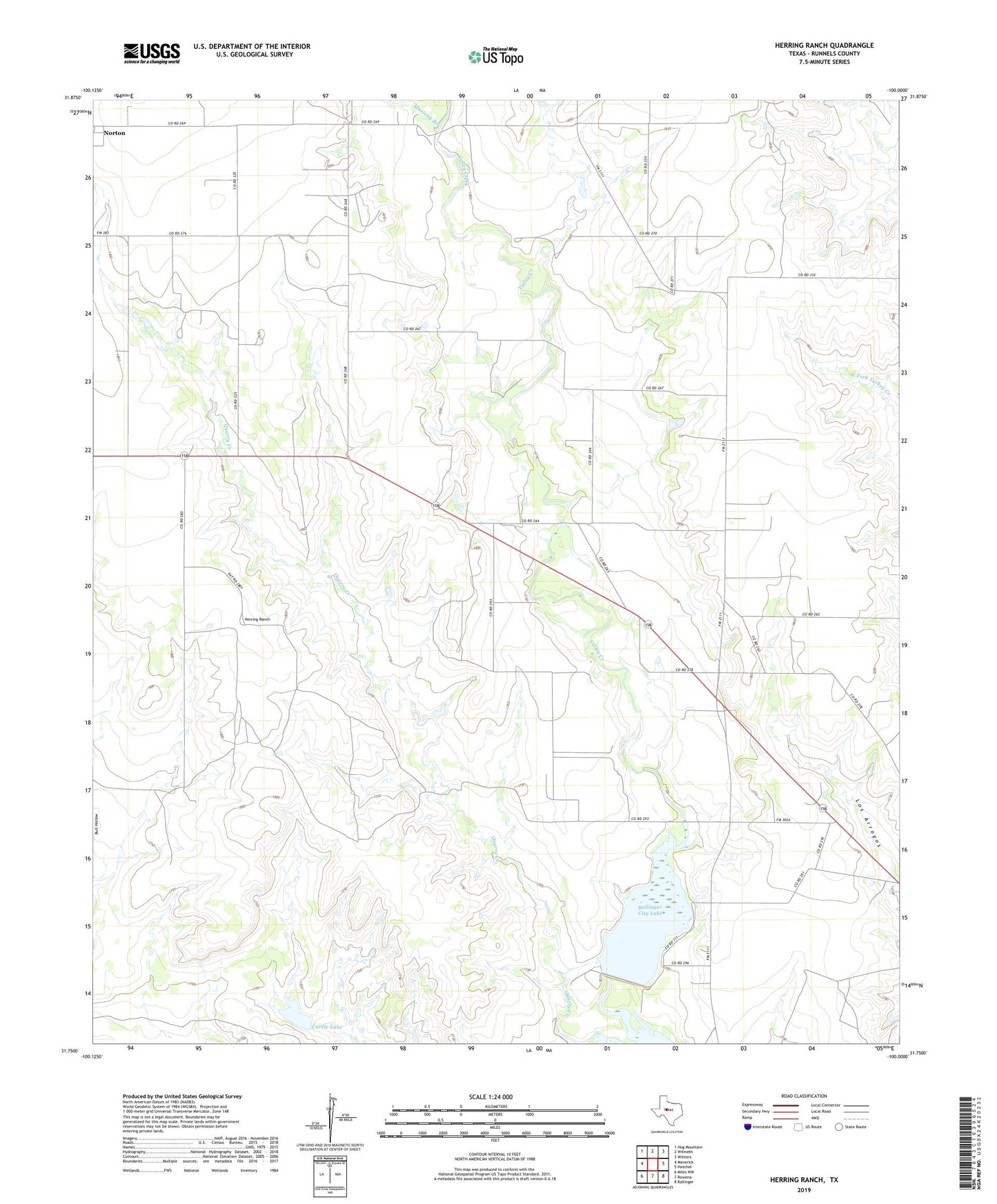
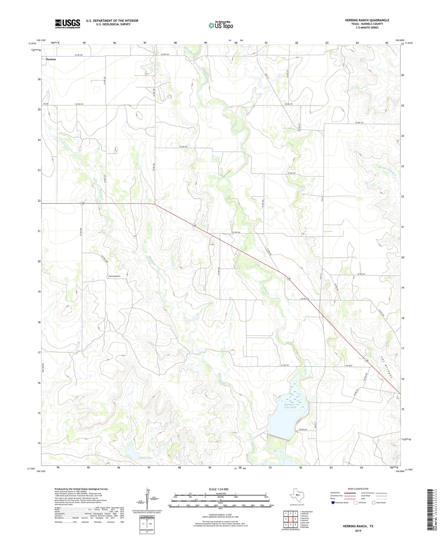
2019 topographic map quadrangle Herring Ranch in the state of Texas. Scale: 1:24000. Based on the newly updated USGS 7.5' US Topo map series, this map is in the following counties: Runnels. The map contains contour data, water features, and other items you are used to seeing on USGS maps, but also has updated roads and other features. This is the next generation of topographic maps. Printed on high-quality waterproof paper with UV fade-resistant inks.
Quads adjacent to this one:
West: Maverick
Northwest: Hog Mountain
North: Wilmeth
Northeast: Winters
East: Hatchel
Southeast: Ballinger
South: Rowena
Southwest: Miles NW
Contains the following named places: Allen Number One Windmill, Currie Lake, Currie Lake Dam, Herring Ranch, Lake Ballinger Dam, Motley Oil Field, Mustang Branch, Valley View, Valley View Church