MyTopo
Hondo Texas US Topo Map
Couldn't load pickup availability
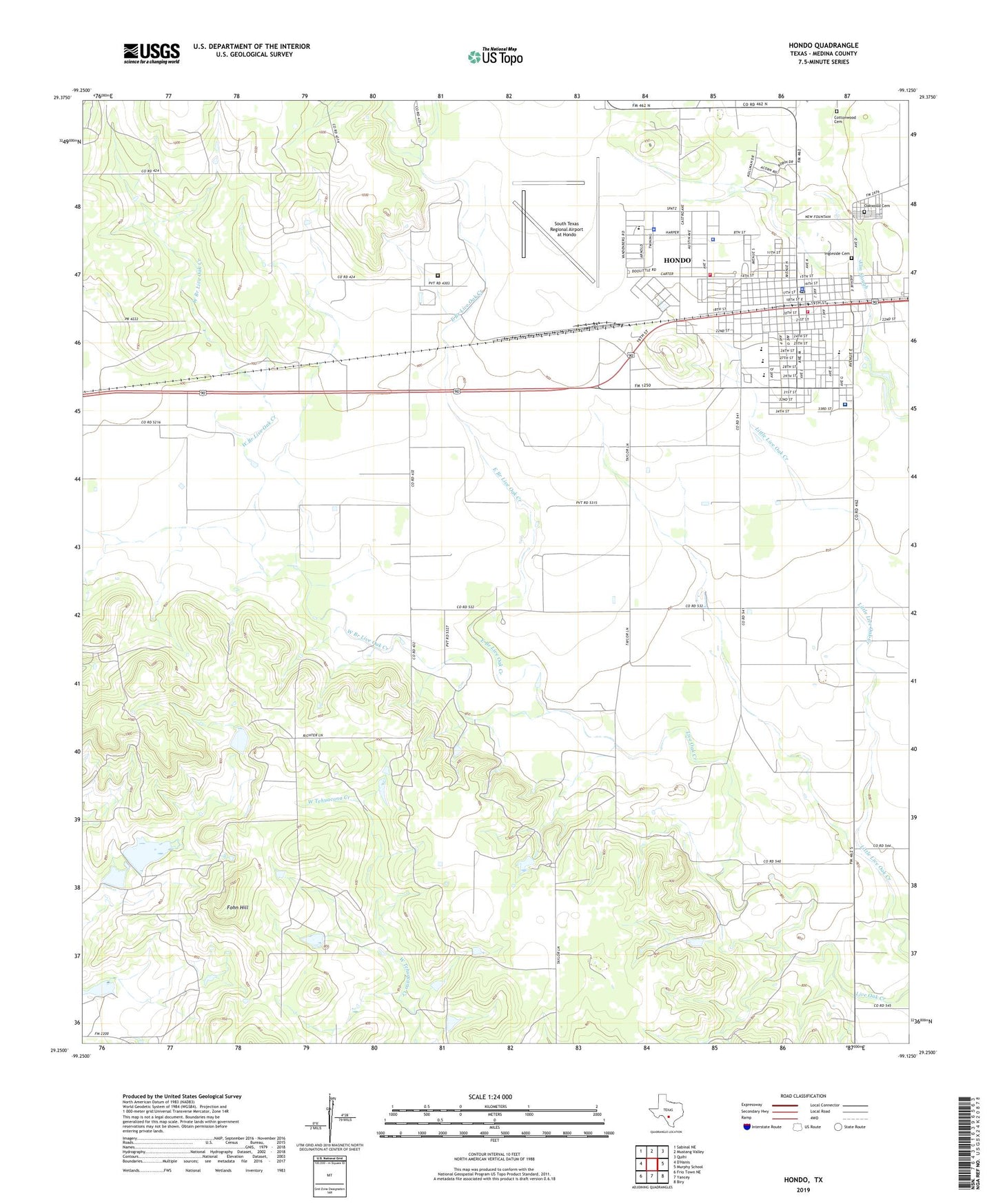
2022 topographic map quadrangle Hondo in the state of Texas. Scale: 1:24000. Based on the newly updated USGS 7.5' US Topo map series, this map is in the following counties: Medina. The map contains contour data, water features, and other items you are used to seeing on USGS maps, but also has updated roads and other features. This is the next generation of topographic maps. Printed on high-quality waterproof paper with UV fade-resistant inks.
Quads adjacent to this one:
Northwest: Sabinal NE
North: Mustang Valley
Northeast: Quihi
East: Murphy School
Southeast: Biry
South: Yancey
Southwest: Frio Town NE
This map covers the same area as the classic USGS quad with code o29099c2.
Contains the following named places: Barry Field, Church of Christ, City of Hondo, Collins Lake, Collins Lake Dam, Community Emergency Medical Service, Cottonwood Cemetery, East Branch Live Oak Creek, First Mexican Baptist Church, Fohn Hill, Hondo, Hondo Air Base, Hondo Army Air Field, Hondo City Municipal Building, Hondo City Park, Hondo High School, Hondo Police Department, Hondo Post Office, Hondo Volunteer Fire Department Station 1, Hondo Volunteer Fire Department Station 2, Ingleside Cemetery, KRBH-FM (Hondo), KRME-AM (Hondo), Lacy School, McDowell Junior High School, Medina Community Hospital, Medina County Constable's Office Precinct 1, Medina County Courthouse, Medina County Jail, Medina County Sheriff's Office, Meyer Elementary School, Meyer School, Mumme Lake, Mumme Lake Dam, Oakwood Cemetery, Raye Theater, Saint John School, Saint Pauls Lutheran Church, South Texas Regional Airport at Hondo, Texas Department of Criminal Justice Joe Ney State Jail, Texas Department of Criminal Justice Ruben M Torres Unit, Texas Department of Public Safety Highway Patrol Office, West Branch Live Oak Creek, West End Baptist Church