MyTopo
Quihi Texas US Topo Map
Couldn't load pickup availability
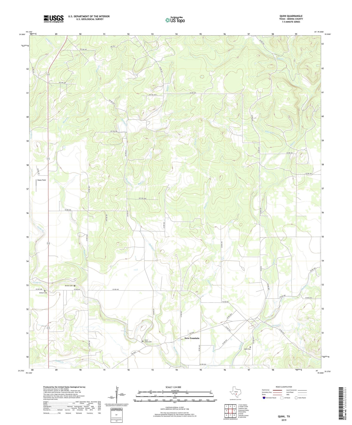
2022 topographic map quadrangle Quihi in the state of Texas. Scale: 1:24000. Based on the newly updated USGS 7.5' US Topo map series, this map is in the following counties: Medina. The map contains contour data, water features, and other items you are used to seeing on USGS maps, but also has updated roads and other features. This is the next generation of topographic maps. Printed on high-quality waterproof paper with UV fade-resistant inks.
Quads adjacent to this one:
West: Mustang Valley
Northwest: Twin Hollow
North: Timber Creek
Northeast: Medina Lake
East: Riomedina
Southeast: Castroville
South: Murphy School
Southwest: Hondo
This map covers the same area as the classic USGS quad with code o29099d1.
Contains the following named places: Britsch Cemetery, Bull Creek, Cherry Creek, Decker Cemetery, Elm Creek, Haass Field, Hexa Creek, Hondo Division, Main Quihi Creek, New Fountain, Polecat Creek, Quihi, Quihi Cemetery, Saathoff House, Saint Johns Cemetery, Second Creek