MyTopo
Biry Texas US Topo Map
Couldn't load pickup availability
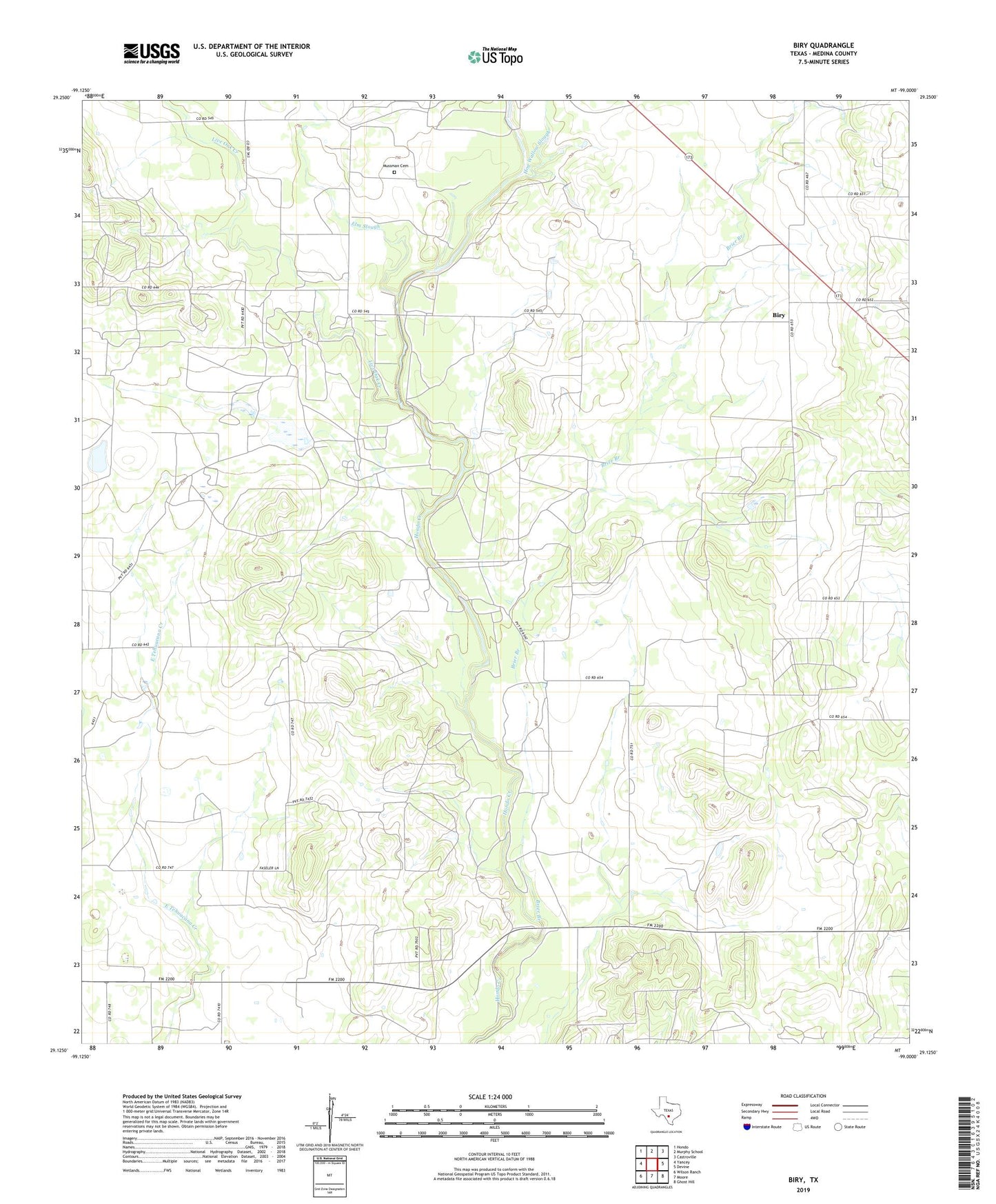
2022 topographic map quadrangle Biry in the state of Texas. Scale: 1:24000. Based on the newly updated USGS 7.5' US Topo map series, this map is in the following counties: Medina. The map contains contour data, water features, and other items you are used to seeing on USGS maps, but also has updated roads and other features. This is the next generation of topographic maps. Printed on high-quality waterproof paper with UV fade-resistant inks.
Quads adjacent to this one:
West: Yancey
Northwest: Hondo
North: Murphy School
Northeast: Castroville
East: Devine
Southeast: Ghost Hill
South: Moore
Southwest: Wilson Ranch
This map covers the same area as the classic USGS quad with code o29099b1.
Contains the following named places: Adams Oil Field, Adams Ranch, Biry, Biry School, Brier Branch, Elm Slough, George Wilson Lake Number 1, George Wilson Lake Number 1 Dam, George Wilson Lake Number 2, George Wilson Lake Number 2 Dam, Hog Wallow Slough, Howard Cemetery, Live Oak Creek, Mussman Cemetery