MyTopo
Last Chance Mesa Texas US Topo Map
Couldn't load pickup availability
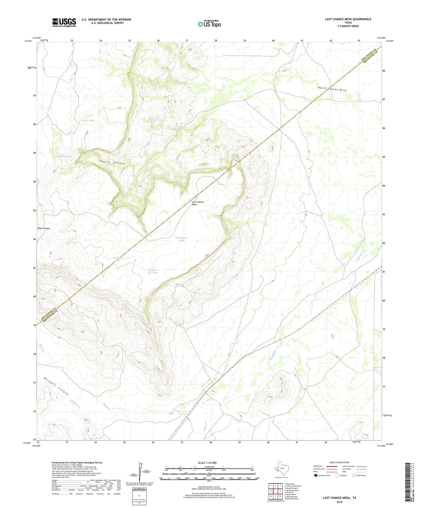
2022 topographic map quadrangle Last Chance Mesa in the state of Texas. Scale: 1:24000. Based on the newly updated USGS 7.5' US Topo map series, this map is in the following counties: Brewster, Jeff Davis. The map contains contour data, water features, and other items you are used to seeing on USGS maps, but also has updated roads and other features. This is the next generation of topographic maps. Printed on high-quality waterproof paper with UV fade-resistant inks.
Quads adjacent to this one:
West: Henderson Mesa
Northwest: Major Peak
North: Little Star Mountain
Northeast: Leoncita Ranch
East: Hovey SW
Southeast: Bissett Mountain
South: Elam Mountain
Southwest: Alpine North
This map covers the same area as the classic USGS quad with code o30103e5.
Contains the following named places: Alpine Creek, Amistad Tank, Big Rock Tank, Black Creek, Duck Tank, Hatch Canyon, Herradura Tank, Last Chance Mesa, Musquiz Canyon, Number Ten Tank