MyTopo
Hurnville Texas US Topo Map
Couldn't load pickup availability
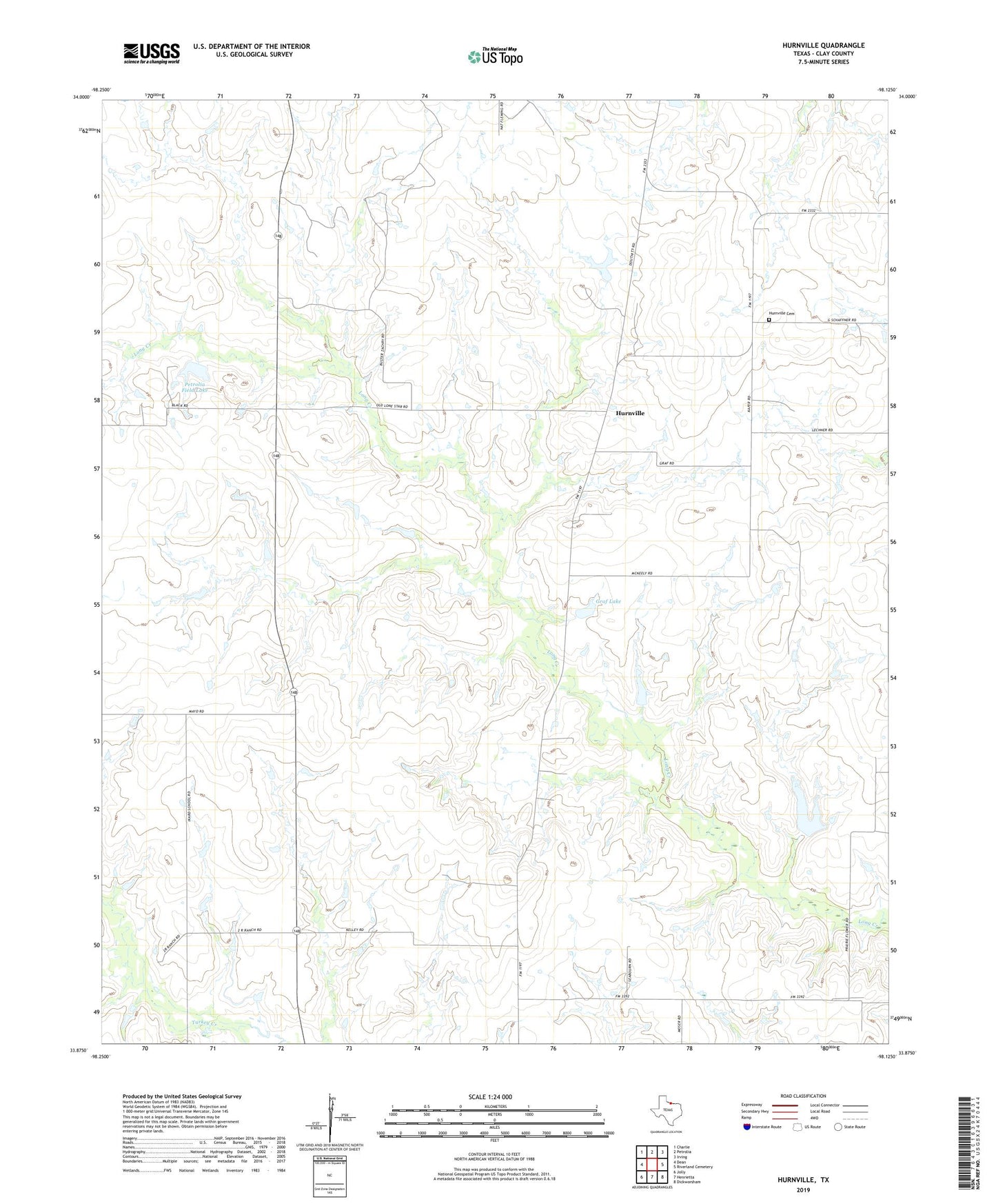
2019 topographic map quadrangle Hurnville in the state of Texas. Scale: 1:24000. Based on the newly updated USGS 7.5' US Topo map series, this map is in the following counties: Clay. The map contains contour data, water features, and other items you are used to seeing on USGS maps, but also has updated roads and other features. This is the next generation of topographic maps. Printed on high-quality waterproof paper with UV fade-resistant inks.
Quads adjacent to this one:
West: Dean
Northwest: Charlie
North: Petrolia
Northeast: Irving
East: Riverland Cemetery
Southeast: Dickworsham
South: Henrietta
Southwest: Jolly
Contains the following named places: Clay Unknown Dam Number 1, Clay Unknown Lake Number 1, Graf Lake, Graf Lake Dam, Hurnville, Hurnville Cemetery, Petrolia Field Lake, Petrolia Field Lake Dam