MyTopo
Dean Texas US Topo Map
Couldn't load pickup availability
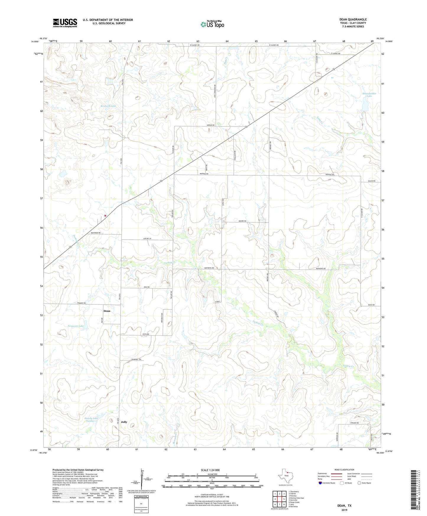
2022 topographic map quadrangle Dean in the state of Texas. Scale: 1:24000. Based on the newly updated USGS 7.5' US Topo map series, this map is in the following counties: Clay. The map contains contour data, water features, and other items you are used to seeing on USGS maps, but also has updated roads and other features. This is the next generation of topographic maps. Printed on high-quality waterproof paper with UV fade-resistant inks.
Quads adjacent to this one:
West: Wichita Falls East
Northwest: Thornberry
North: Charlie
Northeast: Petrolia
East: Hurnville
Southeast: Henrietta
South: Jolly
Southwest: Sloop Creek
This map covers the same area as the classic USGS quad with code o33098h3.
Contains the following named places: Bridwell Lake, Bridwell Lake Dam, City of Dean, City of Jolly, Dean, Dean - Dale Volunteer Fire Department, Dowdy Lake Number 1, Dowdy Lake Number 1 Dam, Dowdy Lake Number 2, Dowdy Lake Number 2 Dam, Ferguson Lake, Ferguson Lake Dam, Harding Lake, Harding Lake Dam, Householder Lake, Householder Lake Dam, Krottinger Lake, Krottinger Lake Dam, Mathews Airport, Petrolia Oil Field