MyTopo
Trosado Tank Texas US Topo Map
Couldn't load pickup availability
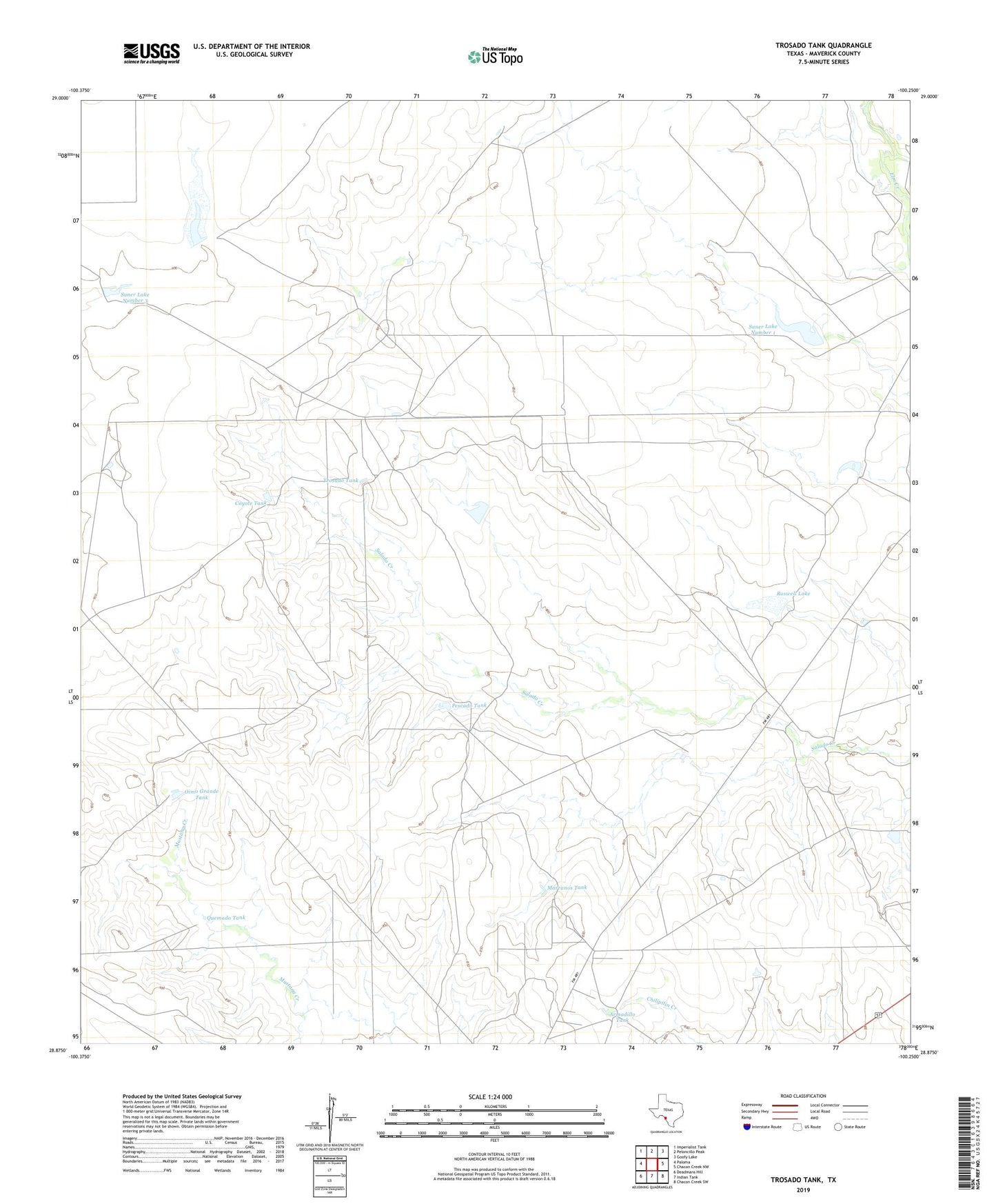
2022 topographic map quadrangle Trosado Tank in the state of Texas. Scale: 1:24000. Based on the newly updated USGS 7.5' US Topo map series, this map is in the following counties: Maverick. The map contains contour data, water features, and other items you are used to seeing on USGS maps, but also has updated roads and other features. This is the next generation of topographic maps. Printed on high-quality waterproof paper with UV fade-resistant inks.
Quads adjacent to this one:
West: Paloma
Northwest: Imperialist Tank
North: Peloncillo Peak
Northeast: Goofy Lake
East: Chacon Creek NW
Southeast: Chacon Creek SW
South: Indian Tank
Southwest: Deadmans Hill
This map covers the same area as the classic USGS quad with code o28100h3.
Contains the following named places: Armadillo Tank, Coyote Tank, Gallina Tank, Gallina Windmill, Gilbo Tank, Marranos Tank, Oimo Grande Tank, Pescado Tank, Quemado Division, Quemado Tank, Roswell Lake, Roswell Lake Dam, Saner Lake Number 1, Saner Lake Number 1 Dam, Saner Lake Number 2 Dam, Saner Lake Number 3, Saner Lake Number 3 Dam, Trosado Tank, Welta Tank