MyTopo
Weches Texas US Topo Map
Couldn't load pickup availability
Also explore the Weches Forest Service Topo of this same quad for updated USFS data
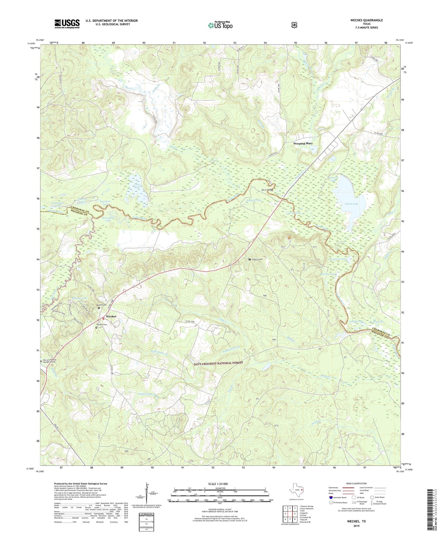
2022 topographic map quadrangle Weches in the state of Texas. Scale: 1:24000. Based on the newly updated USGS 7.5' US Topo map series, this map is in the following counties: Houston, Cherokee. The map contains contour data, water features, and other items you are used to seeing on USGS maps, but also has updated roads and other features. This is the next generation of topographic maps. Printed on high-quality waterproof paper with UV fade-resistant inks.
Quads adjacent to this one:
West: Augusta
Northwest: Denson Springs
North: Pryor Mountain
Northeast: Alto
East: Forest
Southeast: Kennard NE
South: Ratcliff
Southwest: Crockett NE
This map covers the same area as the classic USGS quad with code o31095e2.
Contains the following named places: Allen Branch, Bluff City, Bluff Creek, Bodenhamer Branch, Bog Lake, Boggy Glade Branch, Bowles Creek, Box Creek, Brushy Lake, Butler Branch, Caddoan Mounds State Historical Park, Camp Creek School, Cedar Creek, Chain of Lakes, Collard Lake, Coon Pond, Dan and Hannah McLean Graves, Diboll Camp School, Duren Lake, Duren Lake Dam, Easley Cemetery, Easley Chapel, Ferrell Shingle Mill, First Weches School, Forman Branch, Forman Lake, Franklin Cemetery, Franklin Church, Franklin School, Friendswood Public Library, Hargrove Lake, Horseshoe Lake, Indian Mound Nursery, Kennedy Cemetery, Kennedy Crossing, Krem Lake, Mission Lake, Mission Tejas State Park, Mission Tejas State Park Trail, Morning Star School, Musek Branch, Neches Bluff Campground, Neches Bluff Overlook, Neches Bluff Trail, Pearman Lake, Pepper Tree, Pole Branch, Saint Thomas Chapel, San Pedro Creek, Sawmill Lake, Schoechler Lake, Second Weches School, SH 21 Bridge, Sulphur Creek, Texas A&M Experiment Station, Weches, Weches Cemetery, Weches Volunteer Fire Department, Weeping Mary, White Oak Creek


