MyTopo
Kingsland Texas US Topo Map
Couldn't load pickup availability
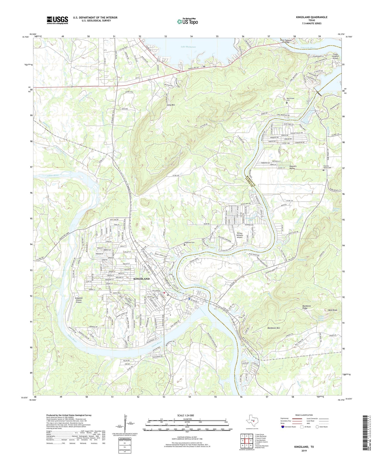
2019 topographic map quadrangle Kingsland in the state of Texas. Scale: 1:24000. Based on the newly updated USGS 7.5' US Topo map series, this map is in the following counties: Llano, Burnet. The map contains contour data, water features, and other items you are used to seeing on USGS maps, but also has updated roads and other features. This is the next generation of topographic maps. Printed on high-quality waterproof paper with UV fade-resistant inks.
Quads adjacent to this one:
West: Cap Mountain
Northwest: Lone Grove
North: Lake Buchanan
Northeast: Council Creek
East: Longhorn Cavern
Southeast: Marble Falls
South: Dunman Mountain
Southwest: Click
Contains the following named places: Backbone Mountain, Bald Knob, Boil Spring, Buchanan Dam, Buchanan Dam Post Office, Buchanan West Baptist Church, Buckner Boys Ranch, Camp Longhorn Airport, Carver Pre - Kindergarten Center, Chapel of the Hills Baptist Church, Clear Creek, Dry Creek, First Baptist Church, First Union Church, French John Creek, Genesis Lutheran Church, Haywood Memorial Church, Highland Lakes Baptist Church, Highland Lakes Church of Christ, Highland Lakes United Methodist Church, Hill Country Full Gospel Church, Honey Creek, Hoover Valley Chapel, Hoovers Valley, Hoovers Valley Cemetery, Inks Dam National Fish Hatchery, Inks Dam Substation, Inks Lake, Kingsland, Kingsland Branch Library, Kingsland Cemetery, Kingsland Census Designated Place, Kingsland Community Church, Kingsland Estates Airport, Kingsland Lake, Kingsland Post Office, Kingsland Volunteer Fire Department, Lakeshore Church, Lakeside Heights, Lakeside Retreat Church, Llano County Constable's Office, Llano County Sheriff's Office, Llano River, Long Mountain, Mill Creek, Moss Creek, Murchinson Cemetery, Packsaddle Elementary School, Pennington Creek, Peters Creek, Roy Inks Dam, Saint Charles Catholic Church, Sandy Creek, Shirley Williams Airport, State Highway 29 Bridge, Tantrough Creek, Turkey Feather Spring, Williams Creek, Williams Spring, ZIP Code: 78639