MyTopo
Click Texas US Topo Map
Couldn't load pickup availability
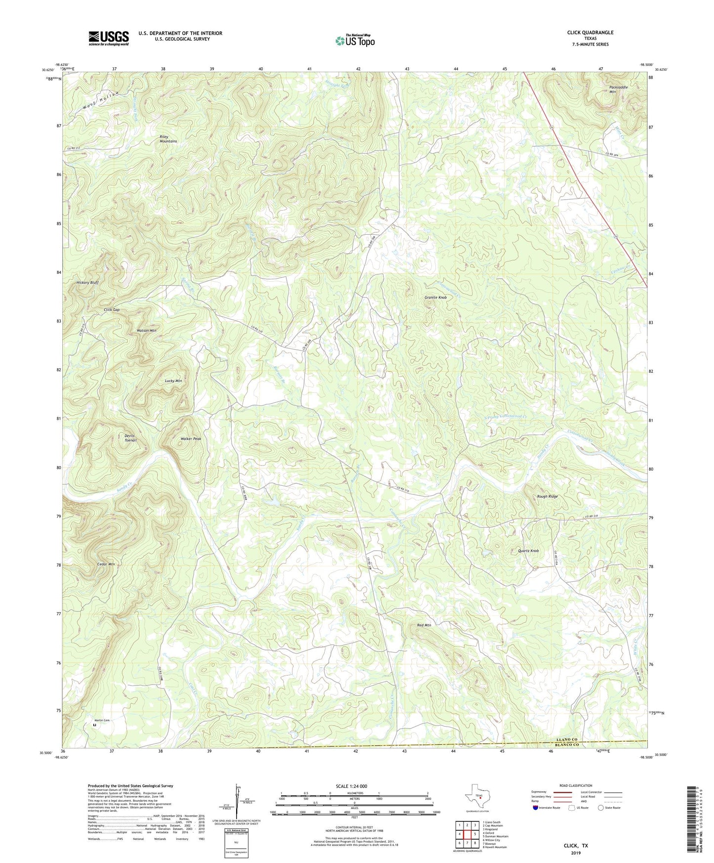
2022 topographic map quadrangle Click in the state of Texas. Scale: 1:24000. Based on the newly updated USGS 7.5' US Topo map series, this map is in the following counties: Llano, Blanco. The map contains contour data, water features, and other items you are used to seeing on USGS maps, but also has updated roads and other features. This is the next generation of topographic maps. Printed on high-quality waterproof paper with UV fade-resistant inks.
Quads adjacent to this one:
West: Oxford
Northwest: Llano South
North: Cap Mountain
Northeast: Kingsland
East: Dunman Mountain
Southeast: Howell Mountain
South: Blowout
Southwest: Willow City
This map covers the same area as the classic USGS quad with code o30098e5.
Contains the following named places: Barnett Branch, Click, Click Gap, Coal Creek, Comanche Creek, Cottonwood Creek, Devils Toenail, Fowler Airport, Granite Knob, Lucky Mountain, Martin Cemetery, Packsaddle Mountain, Quartz Knob, Red Mountain, Riley Mountains, Rough Ridge, South Prong Cottonwood Creek, Spring Branch, Walker Peak, Watson Mountain, Wolf Hollow